Aerial Photography
Professional aerial photography for industrial applications
Aerial photography is the method of capturing images of the Earth’s surface or elements of its atmosphere and hydrosphere using cameras affixed to aircraft, rockets, Earth-orbiting satellites, and other spacecraft.
In the mapping of land-based features, a series of aerial photographs is typically taken in an overlapping fashion from an aircraft, following a predetermined flight path at a constant altitude. Each photograph encompasses an area that includes multiple control points whose positions are established through ground-surveying techniques.
Utilising the practice of photogrammetry, which involves the simultaneous projection of these overlapping perspectives, enables the creation of contour maps and three-dimensional models of the terrestrial landscape captured in the photographs.
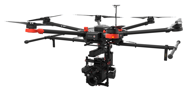
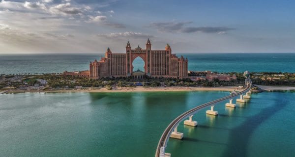
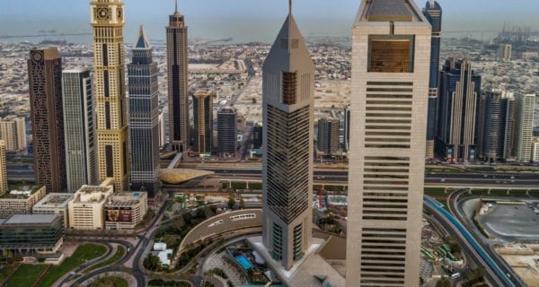
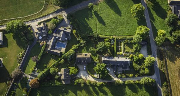
Our aerial photography and filming services are perfect for imaging industrial sites, real estate, or producing 4K video.
Captured data can also be processed and integrated into BIM (Building Information Modelling) applications, resulting in photo-realistic 3D models.
The modular design allows us to offer clients different camera and imaging options to suit the project requirements.
We are also able to live stream 4K video for events.
Trust Angell Surveys for cutting-edge technology and expertise in photography services, contact us to find out more.