Aerial Survey
Aerial Survey
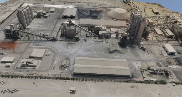
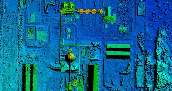
Accurate surveys and comprehensive deliverables are at the forefront of our aerial survey capabilities, achieved through cutting-edge photogrammetry and aerial LiDAR drone technology. With a commitment to quality, our surveys are backed by a warranty, ensuring reliability and precision.
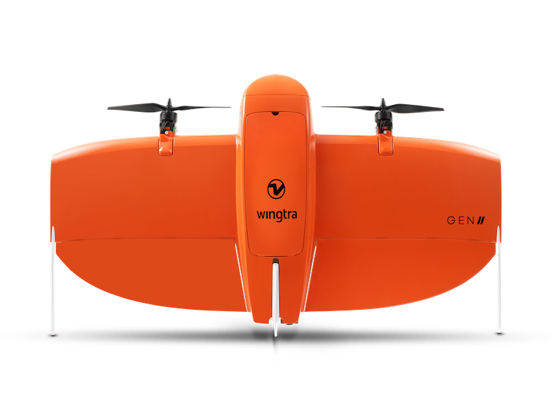
Distinguished by our fleet of fixed-wing drones, we extend flight times for more efficient data collection, enabling clients to access actionable insights promptly. Our adaptability shines through a versatile drone fleet, catering to projects of all scales and complexities.
A remarkable feature of our service is the capacity to utilize full-frame imaging sensors with resolutions reaching up to 42 megapixels. This empowers us to capture intricate details, further enhancing the accuracy and richness of the data we provide. At the intersection of innovation and expertise, our aerial surveys stand as a testament to our commitment to excellence.
Why use Angell Surveys Aerial Survey?
- Using photogrammetry and aerial LiDAR drone and survey technology, we are able to carry out accurate surveys and produce a comprehensive set of deliverables.
- We offer warranties.
- Our fixed wing fleet can fly for longer, allowing our clients to receive actionable data in the shortest time.
- We have a versatile fleet of drones which allows us to adapt to any size project.
- We can carry full frame imaging sensors up to 42 megapixels.
Trust Angell Surveys for cutting-edge technology and expertise in Aerial Surveys, contact us to find out more.