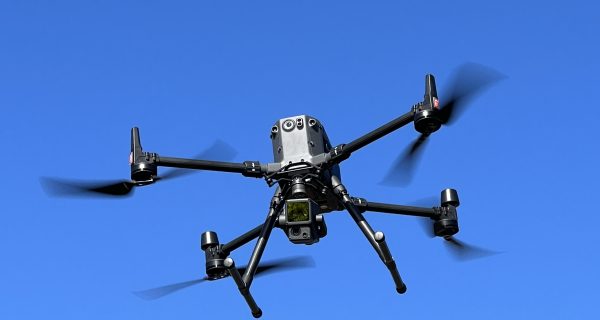
LiDAR
LiDAR surveys (Light Detection and Ranging) involve using laser sensors mounted on drones to collect highly detailed and accurate data about the topography, vegetation cover, and infrastructure of a particular area.
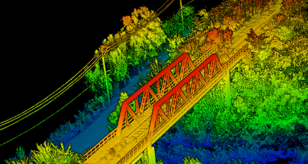
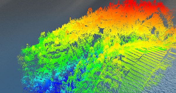
LiDAR, short for Light Detection and Ranging, is a remote sensing technique employing swift near-infrared laser pulses to acquire measurements. Subsequently, this data is translated into a 3D model or map, commonly referred to as a point cloud, detailing the features and attributes of the terrain.
During the survey, the laser sensors emit short pulses of light that bounce off the surface below and return to the sensor, allowing the system to calculate the distance between the aircraft and the ground. By scanning the terrain with multiple pulses of light, the system can create a three-dimensional point cloud that accurately represents the features of the landscape.
Aerial LiDAR surveys are used in a variety of industries, including forestry, agriculture, geology, archaeology, and urban planning. They provide valuable information for land management, flood mapping, urban planning, and natural resource management.