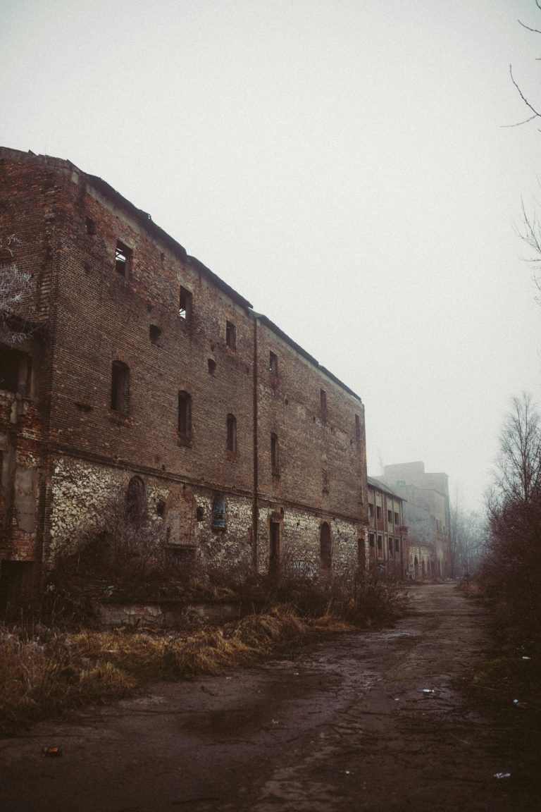
Uncovering Hidden Risks: Drone Surveying in Dilapidated Property Assessments
For businesses that are involved in property development and assessment, the challenge of accurately evaluating dilapidated properties stands as a considerable hurdle. Traditional methods, while tried and tested, often fall short in pinpointing hidden risks that can escalate costs, delay projects, or worse, compromise safety. This is where drone surveying comes in, to transform this critical task. Using drone technology, Angell Surveys enhances the precision of dilapidated property assessments, and unveils insights previously shrouded in uncertainty. In this post, we’re looking at how drone surveying is uncovering hidden risks in dilapidated property assessments, ensuring decisions are made on the solid ground of comprehensive data and precision.
What is Drone Surveying?
At its core, drone surveying involves the use of unmanned aerial vehicles (UAVs), equipped with advanced imaging technology, to capture detailed views and data of a property. These drones fly over properties to record high-resolution images and videos. They are also fitted with sensors that can measure, map, and provide invaluable data, offering a bird’s eye view that is comprehensive and minutely detailed.
The Technology Behind Drone Surveying
The magic of drone surveying lies in the technology. Equipped with high-definition cameras, infrared sensors, and laser scanners, drones can capture a wealth of information from angles and elevations that would be impossible for human surveyors. Coupled with software that can analyse this data, drone surveying presents a clearer, fuller picture of a property’s condition, including aspects like elevation, topography, and potential structural issues.
Advantages Over Traditional Methods For Dilapidated Property
Compared to traditional surveying methods, drones offer a slew of advantages. They can access hard-to-reach areas, reduce the time needed to survey large expanses, and minimise human risk in assessing hazardous or unstable structures. The efficiency and accuracy of drone surveys also mean cost savings and faster decision-making for property developers and assessors.
The Rise of Dilapidated Property Assessments
Dilapidated properties hold potential for redevelopment and investment. However, they come with their share of risks—structural instabilities, environmental hazards, and hidden defects can turn what seems like a promising investment into a liability. This makes thorough and accurate assessments more crucial than ever.
A comprehensive assessment can unveil the true condition of such properties, informing safer, more strategic decisions, whether for safety compliance, investment analysis, or redevelopment planning.
The Role of Drone Surveying
Drone surveying steps into this scenario as a game-changer. By providing detailed, accurate data, drone surveys help assessors identify risks that would otherwise go unnoticed. Drone surveying excels in revealing risks that are not immediately apparent to the naked eye or through traditional surveying methods. From identifying structural damages hidden beneath vegetation to spotting roof damages and water infiltration, drones offer a new level of detail in property assessments.
The Importance of Construction Time-Lapse Videos
Construction time-lapse videos serve multiple purposes; they are not just a visual record of progress but a tool for project management, stakeholder communication, and marketing. These videos can help identify issues early on, provide stakeholders with updates, and serve as a compelling showcase of a company’s capabilities. The value of time-lapse videos extends beyond the construction phase, offering insights and data that can inform future projects.
The Angell Surveys Process
We work with efficiency and precision, and our process is straightforward and designed to cater to your specific requirements with minimal hassle.
- In our initial consultation, you’ll share the details of the inspection area with us so we can plan your project
- We provide you with a no-obligation estimate, giving you a clear understanding of the potential costs involved
- Based on your project’s unique needs, we select the most suitable drone and equipment, guaranteeing that we capture the highest quality data and imagery possible
- We pick a date that fits seamlessly into your schedule
- On the scheduled date, our team will perform the aerial inspection
- Following the inspection, we compile and deliver an in-depth report complete with detailed imagery and video content, along with actionable insights and a thorough understanding of the inspected area
Our approach is crafted to ensure a seamless experience from the first point of contact to the delivery of your detailed inspection report. Angell Surveys prioritises your convenience and information needs, ensuring you receive a comprehensive service.
Our Final Thoughts
Drone surveying represents a leap forward in assessing dilapidated properties, offering a blend of precision, safety, and insight that traditional methods cannot match, and the potential for uncovering hidden risks and transforming property assessments is boundless. With drone surveying, stakeholders can make informed decisions, ensuring that every investment is not just safe but poised for success.
If you’re facing the challenge of assessing a dilapidated property, or wish to harness the power of drone technology for your projects, reach out to Angell Surveys. Experience the difference that precise, data-driven assessments can make in your decision-making process. With Angell Surveys, embark on a journey toward safer, more informed property investments.


