Expert Survey Solutions that deliver.

What is a UAV Drone Survey? A UAV drone survey, also known as an unmanned aerial vehicle (UAV) survey or a drone survey, is a type of survey that uses a drone or unmanned aircraft system (UAS) to collect data and images from the air. In recent years, UAV drone surveys have gained significant popularity […]
What is a UAV Drone Survey? A UAV drone survey, also known as an unmanned aerial vehicle (UAV) survey or a drone survey, is a type of survey that uses a drone or unmanned aircraft system (UAS) to collect data and images from the air. In recent years, UAV drone surveys have gained significant popularity across various industries.
Here are some reasons why UAV drone surveys can be a valuable tool for many industries.
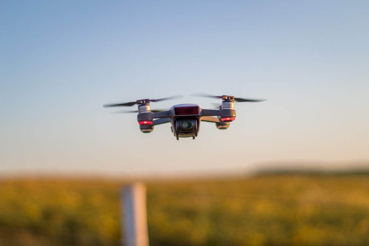
During a UAV drone survey, a drone equipped with sensors, cameras, and other specialised equipment is flown over the area of interest. The drone captures high-resolution images, collects data, and records other relevant information from the ground below. These sensors and cameras can include photogrammetry cameras, LiDAR sensors, thermal imaging cameras, or multispectral cameras, depending on the specific requirements of the survey.
UAV drone surveys have gained popularity due to their ability to quickly and accurately collect data over large areas. Traditional surveying methods can be time-consuming, expensive, and limited in terms of accessibility to certain areas. UAV surveys overcome these limitations by providing a more efficient and cost-effective solution. They can be employed in various industries, including construction, agriculture, environmental monitoring, infrastructure inspection, and more.
The process of a UAV survey begins with a thorough understanding of the survey requirements and objectives. Once the area of interest is identified, the UAV is deployed, and a trained pilot operates the drone to capture images and collect data. The drone’s flight path is carefully planned to ensure complete coverage of the survey area. After the flight, the collected data is processed using specialized software to create detailed 3D models, maps, orthomosaic images, or other visualisations as per the client’s needs.
Booking a UAV survey can vary depending on the service provider and the specific requirements, here at Angell Surveys we can help you identify your survey requirements and determine what you want to achieve through the UAV survey. If you’re ready to harness the power of UAV drone surveys or want to learn more about our services, contact Angell Surveys today.
Trust Angell Surveys for cutting-edge technology, expertise and timely delivery when it matters.