Construction and Infrastructure
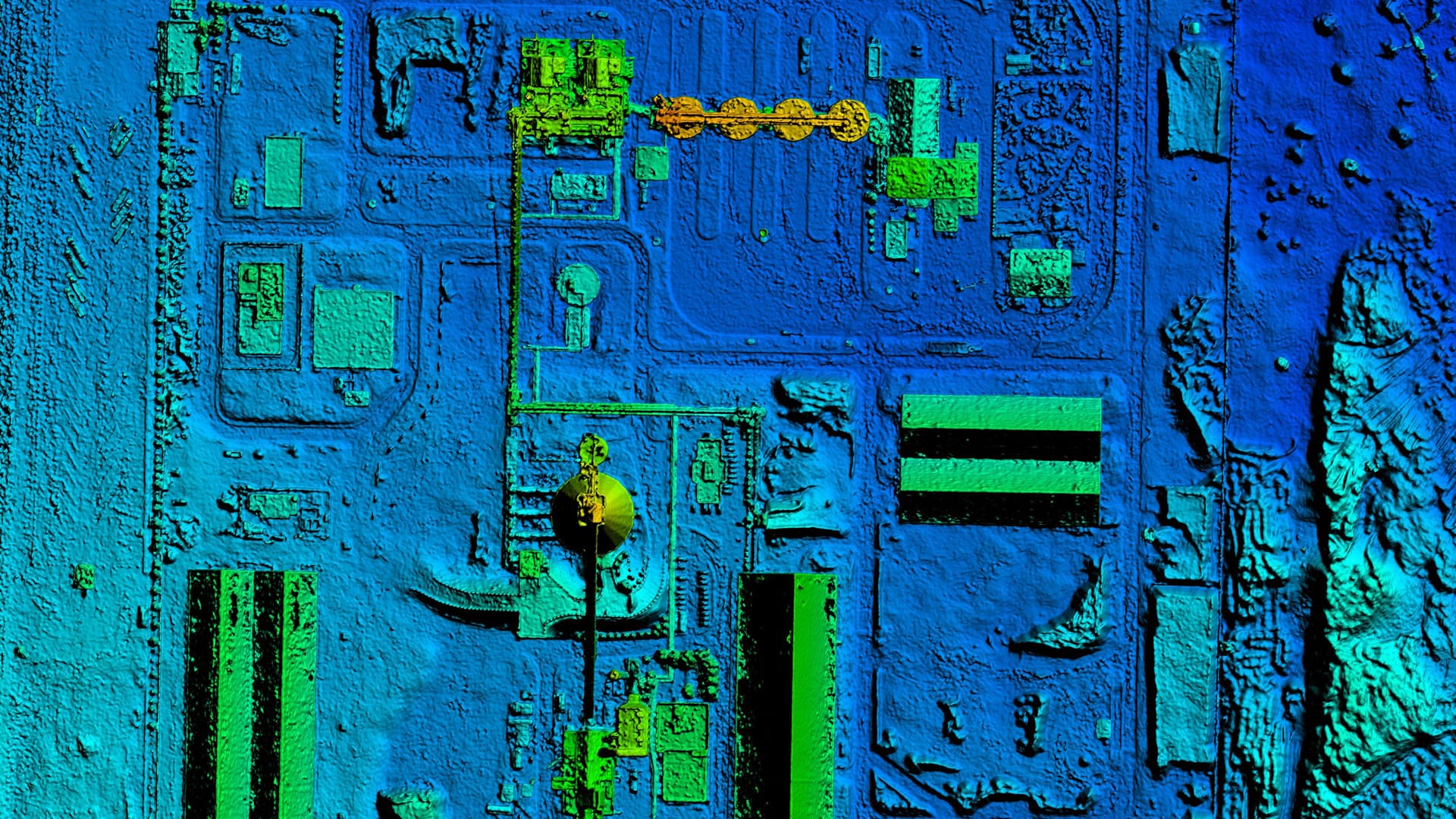
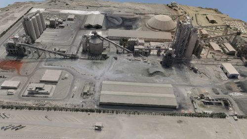
In the construction sector, drone surveys aid in site planning, monitoring progress, and verifying compliance. They provide essential data for infrastructure projects, including roads, bridges, and buildings.

Welcome to the cutting-edge world of drone surveying at Angell Surveys, where we transform aerial data into actionable insights. Our drone survey services utilise the latest in photogrammetry and LiDAR technologies, ensuring unparalleled precision and reliability. This advanced approach allows us to capture and analyse detailed data from above, offering a comprehensive view that traditional methods cannot match.
Our commitment goes beyond just surveying; we aim to provide solutions that are tailored to the unique needs of each project, whether it’s mapping vast landscapes or conducting detailed urban analysis. With Angell Surveys, clients gain access to high-resolution aerial data, backed by a warranty for quality and accuracy.
Discover how our drone survey services can redefine your understanding of precision surveying, providing a clear and accurate picture of your project’s scope and scale.

State-of-the-Art Equipment for Unmatched Surveying Precision
At Angell Surveys, our drone survey capabilities are powered by some of the most advanced technologies in aerial surveying. This commitment to technological excellence underpins the quality and accuracy of our data.
This blend of advanced drones and high-definition sensors ensures that our aerial surveys provide the most accurate and detailed data possible, offering clients invaluable insights for their projects.

Advantages of Choosing Drone Surveys for Your Project
Drone surveys by Angell Surveys offer a myriad of benefits, revolutionising how survey data is captured and analysed. Here are some of the key advantages:
These benefits make drone surveys by Angell Surveys a superior choice for a wide range of surveying requirements, providing clients with reliable, comprehensive, and actionable data.
Unlock precision like never before with our advanced drone survey solutions. From detailed topographic surveys to comprehensive site analyses, our technology and expertise ensure accuracy and efficiency at every level. Step into the future of surveying and see your project from a new perspective.
A Comprehensive Approach to Precision Aerial Data Collection
Our approach to conducting drone surveys at Angell Surveys is thorough and methodical, ensuring each project is executed with the highest level of precision and professionalism. Here’s a step-by-step overview of our process:
This structured process ensures that our drone surveys deliver accurate, reliable, and valuable data, supporting your project from conception to completion.
Your Premier Partner for Expert Drone Survey Solutions
Selecting Angell Surveys for your drone survey needs ensures access to unparalleled expertise and innovative technology. Here’s why we are the preferred choice for drone survey services:
Expertise and Experience: With years of experience in aerial surveying, our team brings a wealth of knowledge to every project, ensuring high-quality data collection and analysis.
Cutting-Edge Technology: Our investment in the latest drone and sensor technology, including high-resolution cameras and advanced LiDAR systems, guarantees precise and detailed survey results.
Tailored Solutions: We understand that each project has unique requirements. Our services are customized to meet your specific surveying needs, delivering tailored data solutions.
Client-Centric Approach: Your satisfaction is our top priority. We offer comprehensive support throughout the project, from initial consultation to final data delivery, ensuring your survey objectives are fully met.
Proven Track Record: Our reputation for excellence is backed by numerous successful projects across various sectors, demonstrating our capability to handle any survey challenge.
Choose Angell Surveys for drone survey services that combine professionalism, precision, and cutting-edge technology to deliver exceptional results.
Choose Angell Surveys for drone survey services that combine professionalism, precision, and cutting-edge technology to deliver exceptional results.
Drone surveys by Angell Surveys are not just versatile; they're transformative. Our services cater to a wide array of sectors, each benefiting from the unique capabilities of aerial surveying:

In the construction sector, drone surveys aid in site planning, monitoring progress, and verifying compliance. They provide essential data for infrastructure projects, including roads, bridges, and buildings.

Farmers and land managers use our drone surveys for crop monitoring, soil health assessment, and precision agriculture practices, leading to better crop management and yield prediction.

Environmental scientists and geologists rely on our surveys for ecosystem monitoring, erosion control, and geological mapping, offering critical insights into natural resource management and conservation efforts.

Urban planners utilise drone surveys for city modelling, land use planning, and infrastructure development, ensuring sustainable and efficient urban growth.

Our drones provide archaeologists and historians with non-invasive methods to explore and document historical sites, uncovering hidden features without disturbing the site.
Ready to elevate your surveying capabilities? Contact us today to explore how our drone survey solutions can transform your understanding of precision and detail. Whether it's mapping, inspection, or analysis, we're here to deliver the aerial insights you need.