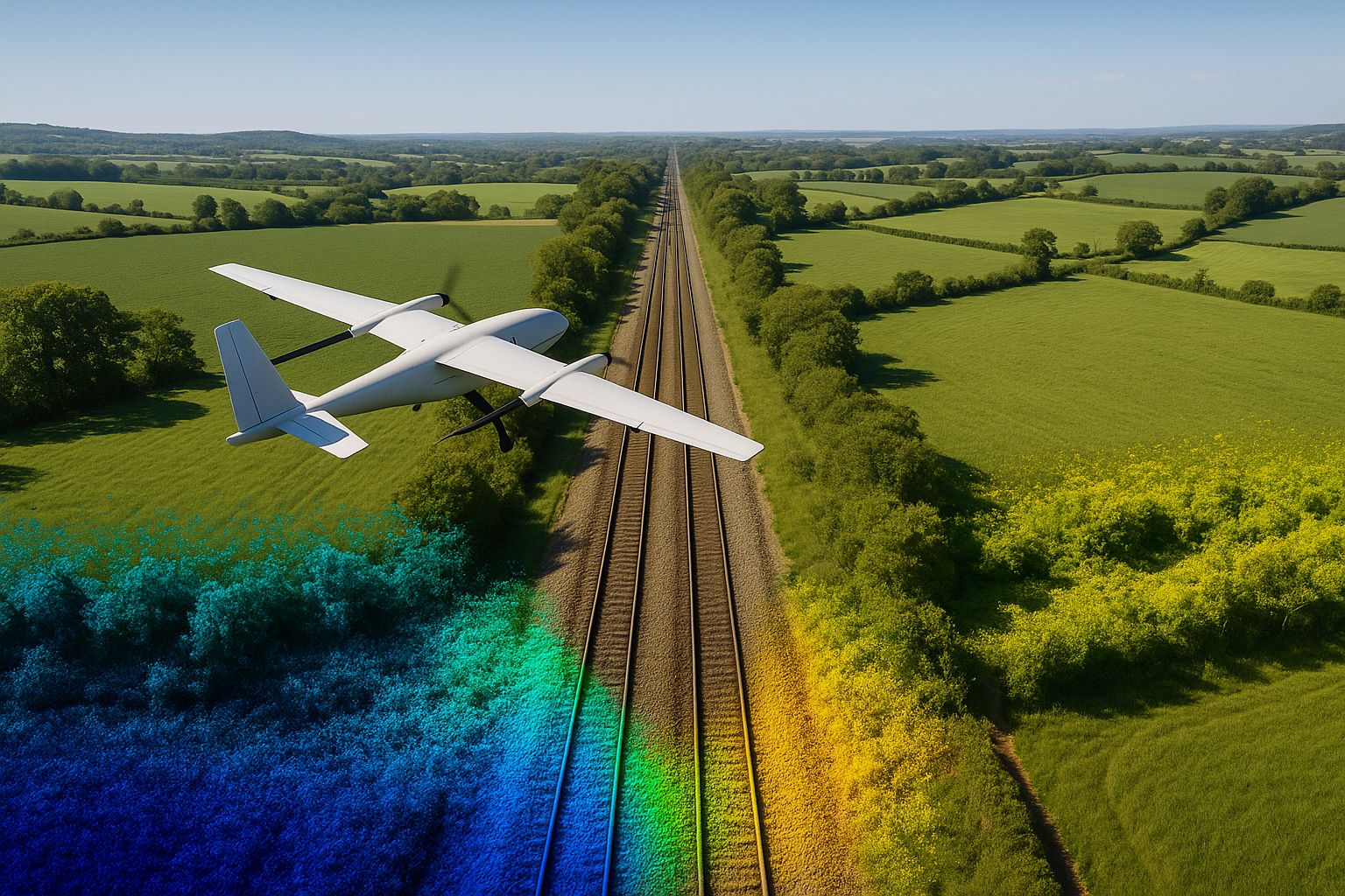
Linear infrastructure — a rail possession, a highway corridor, a pipeline route, a river catchment — is the exact survey geometry a fixed-wing aircraft was built for. Long, narrow sites are inefficient for a multirotor (which spends most of its battery turning around) and expensive for crewed aircraft (which need a long mobilisation for a short corridor). A fixed-wing VTOL flies the length of the corridor in efficient forward flight, covering kilometres per sortie.
This guide covers the fixed-wing method for long corridors. For what a corridor survey is and delivers, see road corridor surveys; to commission one, see how to brief a UAV topographic or corridor survey.
This guide explains how corridor mapping with the WingtraRAY works (the aircraft and sensors are described in our UAV survey fleet guide). If you need a survey delivered, see our aerial survey service.
Why corridors suit fixed-wing VTOL
A corridor survey is dominated by straight-line distance. A multirotor flying a 9 km river catchment spends a large fraction of its flight time decelerating, turning and accelerating at the end of each short strip — and needs many battery swaps. A fixed-wing aircraft cruises the corridor at survey speed and altitude, generating lift from its wing rather than burning energy to hover, so it covers the distance with far fewer flights and consistent capture geometry end to end.
The WingtraRAY adds VTOL launch and recovery to that fixed-wing efficiency, which matters on corridors because there is rarely a runway — the aircraft takes off and lands vertically from a small pad anywhere along the route, then transitions to forward flight for the survey.
Our Calair Burn case study is a worked example: a 9.67 km upland river catchment surveyed to a sub-50 cm DTM resolution for a flood risk assessment, captured by fixed-wing UAV LiDAR and photogrammetry.
The corridor control problem
The defining technical challenge of corridor mapping is control geometry. On a compact site, ground control points surround the survey area and constrain the photogrammetric solution from all sides. On a long, narrow corridor there is no “all sides” — control can only run as two thin lines down the length, and a poorly controlled corridor can “banana”: bow or twist along its length, accumulating error toward the middle and ends.
The workflow that prevents this:
- GCPs every 100–200 m along the corridor, staggered left and right of the centreline so the control forms a zig-zag rather than a single line — this constrains both position and the cross-corridor tilt.
- Cross-strips flown perpendicular to the main flight lines at intervals, which strengthen the bundle adjustment and resist the banana effect far better than parallel strips alone.
- PPK on the aircraft tied to a base station, giving a strong independent position for every camera/LiDAR position so the solution does not rely on GCPs alone.
- Independent check points distributed along the corridor — especially at the extremities, where corridor error is largest — to verify the achieved accuracy end to end.
Access windows and possessions
Corridor surveys frequently sit on restricted infrastructure: a rail line under possession, a highway under Traffic Management, a pipeline easement across third-party land. The control network often has to be established inside the same brief access window as the flight. The fixed-wing’s speed is an asset here — the whole corridor can be captured in a single short window, where ground-based methods would need repeated access over days.
Survey teams hold the safety, training and access qualifications required for Network Rail possessions, Highways traffic-managed closures and utility-operator sites, and the survey is planned around the available window from the outset.
Deliverables for linear infrastructure
A corridor survey produces the same core deliverable set as any topographic survey, optimised for linear use:
- Strip orthomosaic along the corridor, true-ortho corrected
- DTM / DSM at the agreed resolution; LiDAR-derived bare earth where the corridor is vegetated (river catchments, rail cess, verge)
- Long sections and cross sections at the agreed chainage interval — the primary engineering output for highway and rail design
- Classified point cloud (LAS/LAZ) for clearance analysis, structure gauging and BIM
- Surface-feature CAD — track, kerb, drainage, services evidence, boundaries
- Accuracy report against independent check points, referenced to the RICS Measured Surveys of Land, Buildings and Utilities (3rd edition) bands
Accuracy on a corridor
Well-controlled corridor mapping achieves RICS Band D/E on hard detail along the route. The critical discipline is verifying that accuracy at the extremities — the check-point residuals at the far ends of the corridor are the true test of whether the control geometry has held the survey straight. A deliverable that reports residuals only near the middle is hiding the corridor’s weakest points.
Frequently asked questions
How long a corridor can you survey in one flight? A WingtraRAY flight covers several kilometres of corridor depending on width, altitude and required ground sample distance. Longer routes are flown as consecutive sorties from pads along the route, planned to overlap cleanly.
Why are cross-strips so important on a corridor? Parallel flight lines alone leave the photogrammetric solution free to bow or twist along the corridor length. Cross-strips flown perpendicular at intervals lock the geometry and resist that “banana” distortion — they are the single most important defence against corridor error.
Can you survey a rail corridor under possession? Yes — survey teams hold the necessary qualifications for Network Rail possessions, and the fixed-wing’s speed means the corridor is captured inside the possession window. Control is established in the same window.
Do you produce cross sections and long sections? Yes — for highway and rail corridors these are the primary engineering deliverable, cut from the survey at the agreed chainage interval, alongside the orthomosaic, point cloud and surface-feature CAD.
For corridor and linear-infrastructure surveys across the UK with the WingtraRAY, see our aerial survey service and our Calair Burn catchment case study. For more on the road-corridor application specifically, see our road corridor surveys guide.