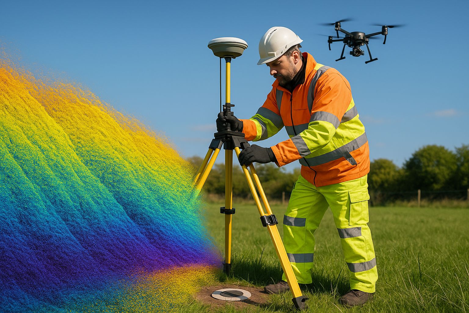
How is a UAV survey tied to OSGB36 and ODN? Ground control points are observed by survey-grade GNSS in ETRS89, transformed to OSGB36 and Ordnance Datum Newlyn with the Ordnance Survey OSTN15 and OSGM15 models, and applied as weighted control in the photogrammetric or LiDAR adjustment before any product is generated. Independent check points, transformed the same way, then confirm the tie.
This is the practical workflow guide. For what OSTN15 and OSGM15 are and how site grids relate to the National Grid, see OSGB36, OSTN15 and OSGM15 explained; for the transformation mathematics step by step, see latitude and longitude to OSGB36.
A drone, like every GNSS device, measures its position in WGS84 — a global geocentric reference frame. But almost every UK engineering deliverable is required on OSGB36 / Newlyn ODN — the national horizontal grid and vertical datum that Ordnance Survey mapping, civil designs and statutory drawings are built on. Getting correctly from one to the other, through the OSTN15 transformation and the OSGM15 geoid model, is what separates an engineering-grade survey from a good-looking but unusable map.
This guide explains the workflow. If you need a survey delivered, see our topographic survey service.
Why the datum matters
If a UAV survey is delivered in raw WGS84 — or in OSGB36 via a careless single-point shift — it can be displaced from the true national grid by anything from centimetres to several metres, and the heights can be wrong by a metre or more. Drop that survey into a Civil 3D model alongside OS mapping and the existing utility records, and nothing lines up. The error is invisible on the survey itself and only surfaces when the design hits the ground.
For any survey that feeds engineering design, planning, drainage, utilities coordination or statutory submission, the national-grid tie is not optional — it is the difference between a survey that can be built from and one that cannot.
The three transformations
Getting from a drone’s GNSS observations to a correct OSGB36 / ODN deliverable involves three distinct steps:
-
WGS84 → ETRS89. GNSS positions are realised in a global frame; the European Terrestrial Reference System 1989 (ETRS89) is the precise framework OS control is expressed in. For survey purposes in the UK the two are handled through the OS National GNSS network.
-
ETRS89 → OSGB36 horizontal, via OSTN15. OSGB36 is not a clean mathematical projection — it carries the distortions of the original 1936 triangulation. Ordnance Survey publishes OSTN15, a rubber-sheet transformation grid that converts ETRS89 coordinates to true OSGB36 National Grid eastings and northings, absorbing those historical distortions. A survey that uses a simple seven-parameter shift instead of OSTN15 will be metres out in places.
-
Ellipsoidal height → ODN orthometric height, via OSGM15. GNSS gives height above the ellipsoid — a mathematical surface, not sea level. The OSGM15 geoid model converts ellipsoidal height to orthometric height above Ordnance Datum Newlyn (ODN) — the “height above sea level” that every UK level, contour and invert is referenced to. Skip OSGM15 and your levels are systematically wrong by the geoid–ellipsoid separation, which across the UK ranges over tens of metres.
A correct UAV survey applies OSTN15 and OSGM15 — not a local fudge — so the output is true OSGB36 / ODN.
How the tie is established in practice
The transformation maths is only as good as the control it is anchored to. The field workflow:
- GNSS base station set up over the site for the duration of capture, logging continuously. Its position is fixed either by occupation of a known OS control point or by a static observation tied to the OS National GNSS network and post-processed.
- RTK or PPK on the aircraft. The drone’s camera or LiDAR positions are corrected against the base — RTK in real time, or PPK in post-processing (PPK is more robust for survey work because it can use the full observation set and recover from momentary signal loss).
- Ground Control Points (GCPs) — surveyed targets distributed across the site, each fixed in OSGB36 / ODN via the base, used to constrain the photogrammetric or LiDAR solution onto the national grid.
- Independent check points — surveyed identically but withheld from the solution, used to verify the achieved accuracy rather than enforce it.
See our ground control points for drone mapping guide for the GCP detail, and our QA/QC methodologies guide for how the check-point verification is reported.
Site grids and the scale-factor question
Large infrastructure projects — rail, highways, major earthworks — frequently work on a contractor-defined site grid rather than the National Grid, because OSGB36 carries a scale factor that distorts true ground distances (a line measured on the ground is not the same length as the same line plotted on the National Grid). A site grid with a unitary scale factor keeps plan distances true to the ground, which matters for setting-out.
A correct UAV workflow captures in OSGB36 / ODN as the master reference and delivers on the contractor’s site grid where required, with the relationship between the two documented — so the survey can be related back to OS mapping and forward to the as-built setting-out without ambiguity.
What the deliverable states
A national-grid-tied UAV deliverable always documents:
- The horizontal datum (OSGB36) and the transformation used (OSTN15)
- The vertical datum (Newlyn ODN) and the geoid model (OSGM15)
- The control framework and how it was fixed to the OS network
- The achieved accuracy against independent check points, referenced to the RICS Measured Surveys of Land, Buildings and Utilities (3rd edition) bands
That metadata is what lets the next engineer trust the survey and build from it.
Frequently asked questions
Can’t the drone’s built-in RTK just give OSGB36 directly? An RTK drone corrected against a network can output coordinates close to the grid, but a survey-grade result still needs OSTN15 and OSGM15 applied correctly and verified against independent check points. RTK improves consistency; it does not replace the transformation and verification workflow.
What happens if OSGM15 is skipped? Your heights are systematically wrong by the geoid–ellipsoid separation — across the UK that is tens of metres of absolute offset, and a varying error across a large site. Contours, levels and inverts would all be unusable for design.
Do you deliver on a site grid or the National Grid? Either — we capture in OSGB36 / ODN as the master reference and deliver on a contractor-defined site grid where the project requires true ground distances for setting-out, with the relationship between the two documented.
How is the accuracy of the grid tie verified? Through independent check points — surveyed to the national grid but withheld from the photogrammetric/LiDAR solution. Their residuals against the survey are the verified, measured accuracy reported on the deliverable.
For UAV survey work correctly tied to OSGB36 / Newlyn ODN across the UK, see our topographic survey service and aerial survey service. Every deliverable documents the datum, transformation and geoid model used, with accuracy reported against independent check points.