Any UAV survey can quote an accuracy figure. The question that separates a survey you can build from one you cannot is whether that figure was measured against independent evidence or simply asserted from the software’s own internal report. A survey that says “±20 mm” because the processing software reported a low reprojection error is making a claim about its own internal consistency — not about how close it actually is to the ground.
This guide sets out the QA/QC methodology that produces a verified, evidenced accuracy statement, referenced to the RICS Measured Surveys of Land, Buildings and Utilities (3rd edition) bands. If you need a survey delivered, see our point cloud survey service.
The principle: independent check points
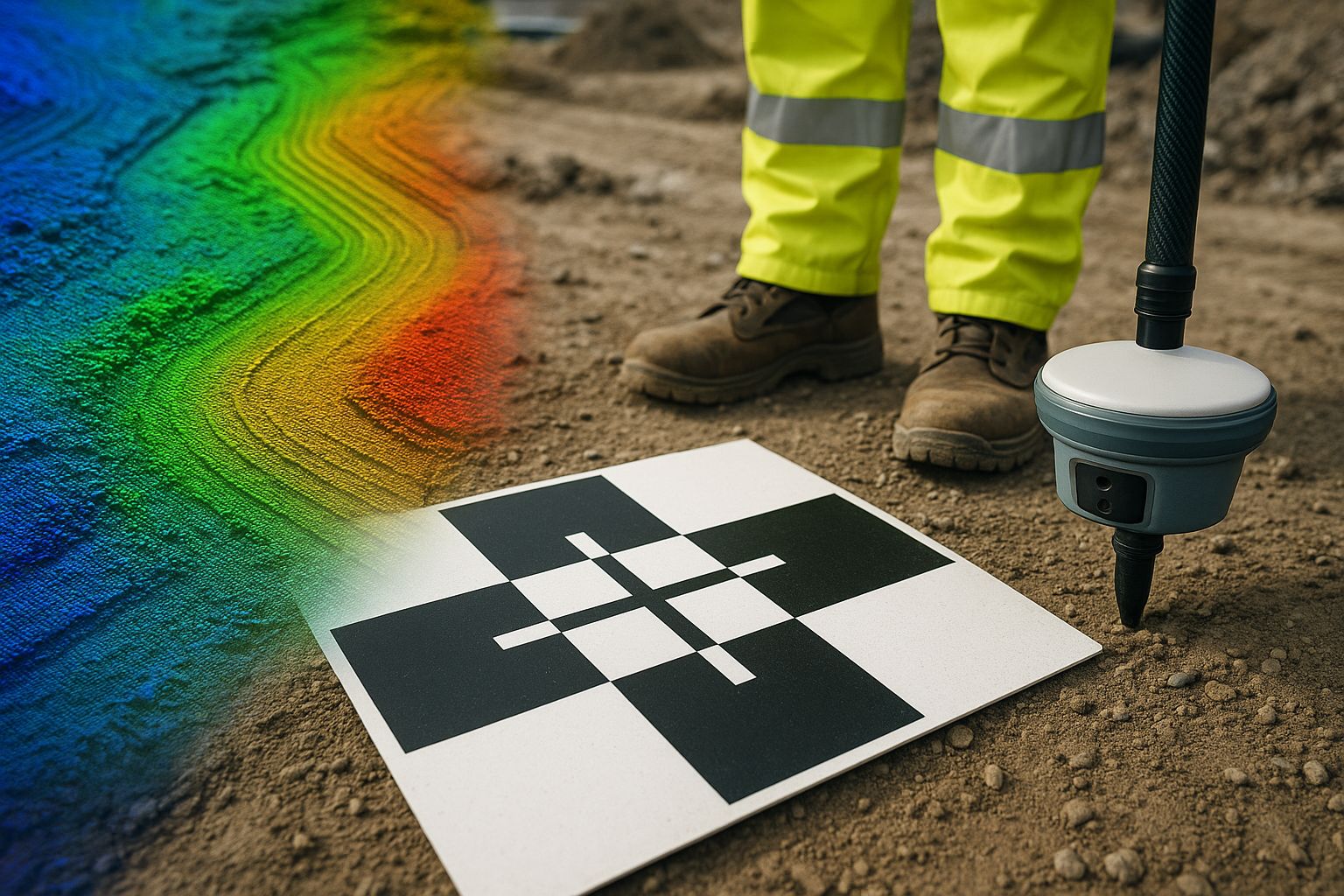
The foundation of survey QA is the distinction between ground control points (GCPs) and check points:
- GCPs are surveyed targets fed into the photogrammetric or LiDAR solution. They constrain the survey onto the national grid. Their residuals after adjustment tell you only that the software fitted the control consistently — which it almost always does.
- Check points are surveyed to the same accuracy but withheld from the solution. The survey never “sees” them. After processing, the survey’s prediction at each check-point location is compared to its independently surveyed coordinate. The difference is the true error — the residual that actually matters.
Reporting GCP residuals as the survey’s accuracy is the single most common way an accuracy claim is inflated. The honest figure is the RMSE of the independent check points.
The check-point workflow
- Establish more control than the solution needs. Survey both the GCPs and a separate set of check points, all to the same standard, all tied to OSGB36 / Newlyn ODN — see our OSGB36 workflows guide.
- Withhold the check points from the bundle adjustment / strip adjustment.
- Process the survey using only the GCPs as control.
- Compute residuals at each check point — the vector difference between the survey’s value and the surveyed truth, in plan (X,Y) and height (Z) separately.
- Report the RMSE in plan and height, and the maximum residual — not just the average, because the worst point is what governs whether the survey is fit for a tight-tolerance use.
Mapping the result to a RICS band
The RICS Measured Surveys of Land, Buildings and Utilities (3rd edition) framework expresses accuracy as bands (A through J) at stated confidence levels — 1 sigma (68%) and 2 sigma (95%). The check-point RMSE is matched to the appropriate band:
| Check-point RMSE (1σ, plan) | RICS Band | Typical suitability |
|---|---|---|
| ±2 mm | A | Engineering setting-out, deformation monitoring |
| ±5 mm | C | High-accuracy measured building, heritage |
| ±10 mm | D | High-accuracy topographic, engineering survey |
| ±25 mm | E | Standard topographic, measured building |
| ±50 mm | F | Low-accuracy topographic, gross area |
The deliverable states the band and the measured residual that justifies it. The band is the language; the residual is the evidence.
QA at each processing stage
Verified accuracy is the headline, but QA runs through the whole processing chain:
Image / data pre-checks — every frame scored for blur and exposure; sub-threshold images excluded before processing. LiDAR strips checked for coverage gaps and trajectory quality.
Tie-point and bundle-adjustment QA — minimum tie-point thresholds enforced per image and per pair; camera interior orientation refined in the adjustment; iteration until reprojection error falls below a stated threshold. Any image that won’t converge is removed and the block re-run.
Control measurement QA — GCP image coordinates measured in a minimum number of images per point (typically five), with the operator checking the target is correctly identified in each.
Point-cloud classification QA — automated ground/non-ground classification is never trusted blind. The classified surface is reviewed in hillshaded 3D, and manually edited across the features where automated classification fails most often: cut faces, embankment toes, dense vegetation edges, and around structures.
Surface QA — DTM and DSM inspected for interpolation artefacts, voids and edge effects before acceptance.
Deliverable QA — datum, transformation, geoid model and layer schedule checked against the brief; the accuracy report cross-checked against the check-point computation.
Repeatability for monitoring
For repeat-survey monitoring programmes, QA extends to epoch-to-epoch consistency. Check points are re-observed at every epoch and their residuals reported each time; any epoch where the residual exceeds the programme tolerance triggers a mandatory re-flight before the data is released. This is what makes successive surveys genuinely comparable — see our CNI weekly earthworks monitoring case study, where every weekly volume report carries its check-point residuals and any out-of-tolerance epoch is re-flown.
What a good accuracy report contains
- The number and distribution of GCPs and independent check points
- Plan and height RMSE from the check points, plus the maximum residual
- The RICS band the result corresponds to, at the stated sigma
- The datum, transformation (OSTN15) and geoid (OSGM15) used
- The processing software and version
- For monitoring: the per-epoch residual history
If an accuracy statement does not distinguish check points from control, treat the figure with caution — it may be reporting internal consistency rather than true accuracy.
Frequently asked questions
What’s the difference between a GCP and a check point? A GCP is fed into the solution to constrain it; a check point is withheld so it can independently verify the result. GCP residuals measure internal consistency; check-point residuals measure true accuracy. Only the latter is a valid accuracy statement.
Why report the maximum residual, not just the average? The average (RMSE) describes the survey as a whole, but the worst point governs fitness for a tight-tolerance use. A survey with a good average but one large outlier may be unsafe to set out from at that location.
Does a low software-reported error mean the survey is accurate? Not on its own. The software’s reprojection error measures how consistently it fitted its own data — a survey can be internally consistent and still systematically displaced from the ground. Independent check points are what catch that.
How does QA differ for a monitoring programme? Check points are re-observed every epoch and residuals reported each time; any epoch exceeding the programme tolerance is re-flown before release, so successive surveys are genuinely comparable for change detection.
For UAV and point-cloud surveys delivered with documented, check-point-verified accuracy, see our point cloud survey service and drone photogrammetry service. Every deliverable reports accuracy against independent check points, referenced to the RICS Measured Surveys of Land, Buildings and Utilities (3rd edition) bands.