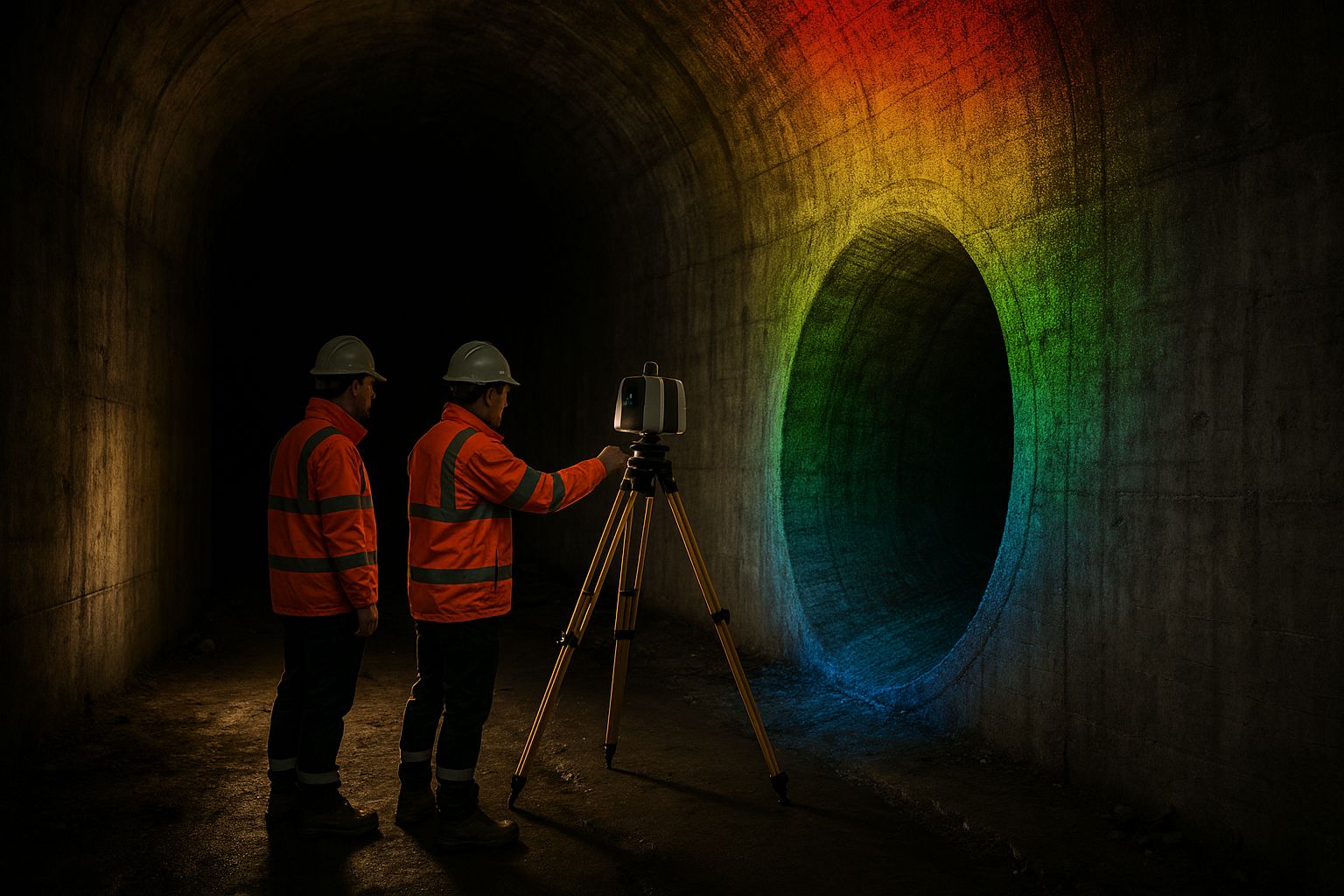
Satellite positioning is the backbone of modern survey. Right up until you go indoors, underground, under a bridge deck, into an urban canyon between tall buildings, or beneath dense tree canopy — at which point GNSS degrades or fails entirely, and a survey method that relied on it alone stops working. Knowing where GNSS fails, why, and what replaces it is the difference between a survey that holds accuracy everywhere and one that quietly drifts where the sky disappears.
This guide explains the problem and the methods. If you need a survey delivered, see our point cloud survey service.
How GNSS degrades
GNSS positioning needs a clear view of enough satellites, spread across the sky, with an uninterrupted signal path. Three things break that:
- Blockage — a tunnel, a building interior, a bridge soffit or a deep cutting physically obstructs the satellites. With too few in view, the position solution collapses.
- Multipath — in an urban canyon or beside a large structure, signals bounce off surfaces before reaching the receiver. The receiver still computes a position, but from corrupted ranges — and a multipath position can be confidently wrong by metres, which is more dangerous than no position at all.
- Canopy attenuation — dense foliage weakens and scatters the signal. The receiver may hold a fix but with degraded precision, and the error varies as the canopy thickens and thins.
The critical risk is the middle one: a survey method that trusts a GNSS position without checking it can import a multipath error into the result and never flag it.
The methods that work without sky
When GNSS is unavailable or unreliable, position has to come from somewhere else. The toolbox:
Terrestrial Laser Scanning (TLS). A tripod-mounted scanner measures range and angle to everything around it, building a dense local point cloud with no reliance on satellites. Multiple scan positions are registered together via shared targets or cloud-to-cloud matching, and the whole network is tied to the national grid through a small number of control points surveyed where GNSS is available (e.g. at a tunnel portal). TLS is the highest-accuracy option — RICS Band A/B/C — and is the workhorse for plant rooms, station interiors, bridge undersides and any structure where engineering tolerance matters.
SLAM mobile scanning. A handheld or backpack scanner uses Simultaneous Localisation And Mapping to position itself in real time from the geometry it sees, with no GNSS at all. It trades some accuracy for speed — RICS Band C/D — and is ideal for capturing long GNSS-denied runs quickly: tunnels, indoor walkthroughs, basement levels. Drift accumulates over distance, so longer routes are anchored with control loops or shared targets tied to grid where the sky reappears.
Total-station traverse. The classical method: a network of instrument stations, each fixed by sighting back to the last, carrying coordinates from a GNSS-fixed start point deep into a GNSS-denied area. Slower than scanning but extremely robust, and the standard way to carry control into a tunnel or down a shaft.
UAV LiDAR multi-return under canopy. Beneath tree cover, the issue is less the drone’s own positioning (it flies above the canopy where GNSS is good) and more seeing the ground through the leaves — solved by LiDAR’s multi-return capability rather than by a positioning method. See our UAV LiDAR for reservoir surveys guide and our Calair Burn upland catchment case study.
The hybrid principle
Real sites are rarely uniformly GNSS-good or GNSS-denied — they transition. A bridge survey has open approaches (GNSS fine) and a soffit (GNSS blocked). A station has an open forecourt and a deep underground concourse. The robust approach is hybrid capture: use GNSS-based methods where the sky is clear, carry control into the denied zones by total station or registered scanning, and merge everything into one point cloud on a single datum.
The key discipline is carrying verified control across the boundary. Control points are established where GNSS is reliable, then the GNSS-denied capture is tied rigidly to them — so the indoor or underground portion inherits the same OSGB36 / ODN framework as the open portion, with the join verified rather than assumed.
Detecting and rejecting bad GNSS
Part of working in degraded environments is knowing when not to trust a position. A disciplined workflow:
- Monitors satellite count, geometry (DOP) and fix quality continuously, and rejects positions that fall below threshold rather than using them
- Cross-checks GNSS positions against an independent method (total station, known control) at the GNSS/no-GNSS boundary to catch multipath
- Uses PPK rather than RTK where possible, because post-processing can use the full observation set and flag epochs where the solution was weak
- Reports which portions of a survey were GNSS-derived and which were carried by other means, so the accuracy statement is honest per zone
Frequently asked questions
Why is a wrong GNSS position worse than no position? A receiver in multipath conditions still outputs a confident-looking position computed from corrupted signals — it can be metres out with no obvious warning. No position at least forces you to use another method; a wrong position can be imported into the survey undetected. Cross-checking at the boundary catches it.
What’s the most accurate method when GNSS is unavailable? Terrestrial Laser Scanning, tied to grid through control surveyed where GNSS works. It achieves RICS Band A/B/C and is the standard for engineering-tolerance work in tunnels, plant rooms and under structures.
How do you survey a tunnel to the national grid with no satellites inside? By carrying control in from the portal — either total-station traverse or registered scanning anchored to GNSS-fixed control points at the entrance — so the interior inherits the same OSGB36 / ODN framework, with the tie verified.
Does dense tree canopy stop a drone survey? It stops photogrammetry from seeing the ground, but not the drone from positioning (it flies above the canopy where GNSS is good). UAV LiDAR’s multi-return capability recovers the bare earth beneath the leaves.
For survey work in GNSS-degraded environments — tunnels, structures, urban sites, under canopy — see our point cloud survey service, LiDAR & laser scanning service and confined space & remote inspection service. We carry verified control into the denied zones and report accuracy per zone against independent check points.