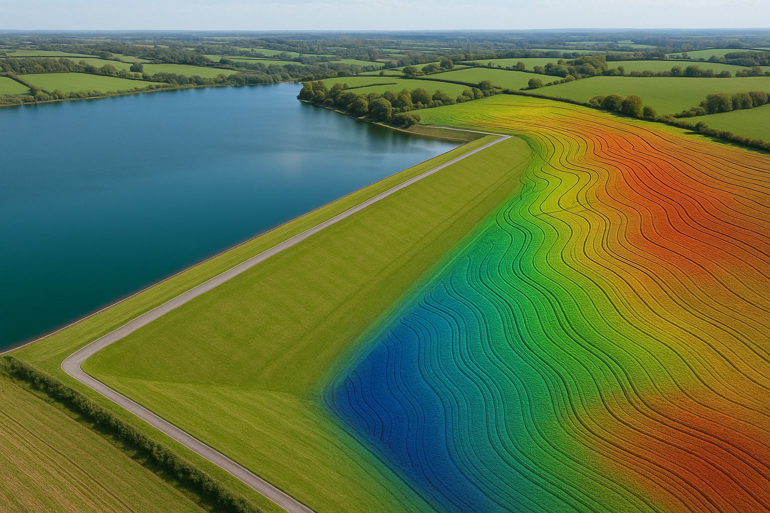
A reservoir survey places a demand on the capture method that photogrammetry alone cannot meet: it has to recover bare-earth ground levels beneath dense embankment vegetation, across a large water-bounded site, to an accuracy good enough for freeboard and dam-safety assessment. That combination is exactly what airborne LiDAR was designed for — and why UAV LiDAR, not photogrammetry, is the capture method of choice for reservoir work.
This guide explains the technical reasons and how the workflow is built. If you need a survey delivered, see our LiDAR & laser scanning service.
The reservoir survey problem
Reservoir embankments are almost always grassed, and frequently carry scrub, gorse or established vegetation on the downstream face. The crest, the upstream and downstream slopes, the toe and the spillway all need accurate ground levels — but a photogrammetric survey only sees the top of the vegetation canopy, not the ground beneath it. On a grassed embankment that might be a 100–300 mm error; on scrub it can be over a metre. For freeboard calculation — the height of the crest above top water level — that error is unacceptable.
LiDAR solves this because each laser pulse can return multiple echoes: the first from the vegetation canopy, later returns from progressively lower foliage, and a final return from the ground itself. Processing software extracts that last-return ground surface, giving a true bare-earth Digital Terrain Model under cover that photogrammetry physically cannot produce.
Why UAV LiDAR specifically
Traditional reservoir survey meant a surveyor walking the embankment with a GNSS rover, taking spot levels along profiles — slow, exposed to the slope-and-water environment, and sparse (hundreds of points where LiDAR captures hundreds per square metre). Crewed aircraft LiDAR is accurate but expensive to mobilise for a single reservoir.
UAV LiDAR — flown by Angell Surveys on the Wingtra fixed-wing for reservoir-scale envelopes, or with the DJI Zenmuse L3 on a Matrice 400 — sits in the sweet spot: the fixed-wing covers the whole reservoir and its catchment in one or two flights, the LiDAR sensor delivers dense multi-return data, and the survey is captured from the air with no surveyor exposed to the embankment face or the water margin.
Our Anglian Water Lincs & Fens reservoirs case study covered 70 km² across two reservoir sites with exactly this approach — fixed-wing UAV LiDAR and photogrammetry feeding twin DCO submissions.
The capture workflow
A reservoir LiDAR survey follows a defined sequence:
- Control network — a GNSS base station and ground control points established around the reservoir, tied to OSGB36 / Newlyn ODN, with independent check points for verification.
- Flight planning — the LiDAR flight lines are planned to give consistent point density across the crest, both embankment faces and the surrounding catchment, with cross-strips to strengthen the trajectory solution.
- Capture — the fixed-wing flies the planned lines; the on-board GNSS/INS records the precise sensor trajectory, post-processed (PPK) against the base station for centimetre positioning.
- Trajectory and strip adjustment — the LiDAR strips are matched and adjusted against the control to remove any systematic offset between flight lines.
- Ground classification — the point cloud is classified to separate last-return ground from vegetation, structures and water; the bare-earth surface is extracted and manually reviewed across the embankment faces where automated classification is most error-prone.
- Surface and deliverable generation — DTM, DSM, contours, profiles and the classified point cloud.
Water-edge handling
LiDAR does not penetrate water — the near-infrared pulse is absorbed at the surface. A reservoir LiDAR survey therefore captures the embankment, crest, spillway and surrounding ground accurately, and records the water surface at its level on the day of capture, but it does not survey the submerged bed. Where bed levels are required (storage-capacity recalculation, sedimentation assessment), bathymetric survey is a separate workstream combined with the LiDAR at the waterline.
Accuracy and what it supports
UAV LiDAR on a well-controlled reservoir survey achieves RICS Band D/E on hard detail (crest, spillway structures, hard standing) and a bare-earth ground model under vegetation good enough for freeboard and slope-stability assessment — the figures that matter for the Reservoirs Act 1975 safety regime and for capital-programme design. As with all our work, accuracy is reported against independent check points, referenced to the RICS Measured Surveys of Land, Buildings and Utilities (3rd edition) bands — the measured residual, not a theoretical claim.
The bare-earth DTM feeds:
- Freeboard assessment — crest level above top water level
- Embankment slope geometry — for stability analysis
- Spillway and outlet survey — hard-detail capture of the control structures
- Volumetric / storage modelling — combined with bathymetry where bed levels are needed
- Change monitoring — repeat captures differenced to detect settlement or deformation
What this looks like on a real reservoir programme
On the Anglian Water Lincolnshire and Fens reservoirs survey, two geographically separate sites totalling about 70 km² were captured by a fixed-wing UAV carrying an integrated LiDAR sensor and metric camera on a single payload, flying at around 120 m above ground level under a CAA Operational Authorisation. Ground control and independent check points were observed by static dual-frequency GNSS tied to OS Net and levelled to Ordnance Datum Newlyn. The classified point cloud was delivered as LAS tiled on a 1 km Ordnance Survey grid, with a sub-5 cm true-ortho orthomosaic on the same tiling, a bare-earth DTM for the 2D hydraulic models, embankment design, emergency drawdown route assessment and earthworks volumes, a canopy height model for the ecology and landscape teams, LiDAR visualisations for the archaeologists, and a formal accuracy report with the check-point residuals and adjustment statistics.
The regulatory context matters. Large raised reservoirs in England and Wales fall under the Reservoirs Act 1975, with design and construction supervised by a qualified reservoir panel engineer, and a reservoir of this scale is consented through a Development Consent Order in which the provenance and accuracy of supporting datasets are formally examined. Survey data for a reservoir scheme therefore has to carry its control network, its check-point residuals and its datum statement with it, not just the surfaces.
Frequently asked questions
Why not just use photogrammetry for a reservoir? Photogrammetry sees only the top of the embankment vegetation, not the ground beneath it. On a grassed or scrubbed embankment that introduces an error of 100 mm to over a metre in the ground level — unacceptable for freeboard. LiDAR’s multi-return capability recovers the true bare-earth surface.
Does UAV LiDAR survey the reservoir bed? No — LiDAR is absorbed by water and cannot see the submerged bed. It captures the embankment, crest, spillway and surrounding ground, and records the water surface level on the day. Bed levels require a separate bathymetric survey.
Is UAV LiDAR accurate enough for dam-safety work? For the above-water elements — crest, faces, spillway, freeboard — yes, when delivered with a proper control network and documented check-point verification. The bare-earth DTM under vegetation is the figure dam engineers cannot get any other way at this density and safety profile.
How does this compare to a walked GNSS survey? A walked survey delivers sparse spot levels and exposes the surveyor to the embankment-and-water environment. UAV LiDAR delivers a dense continuous surface from the air with no surveyor on the slope — better data and a better safety case.
For reservoir and embankment surveys across the UK using UAV LiDAR, see our LiDAR & laser scanning service and our Anglian Water reservoirs case study. For the LiDAR-vs-photogrammetry decision in general, see our comparison guide.