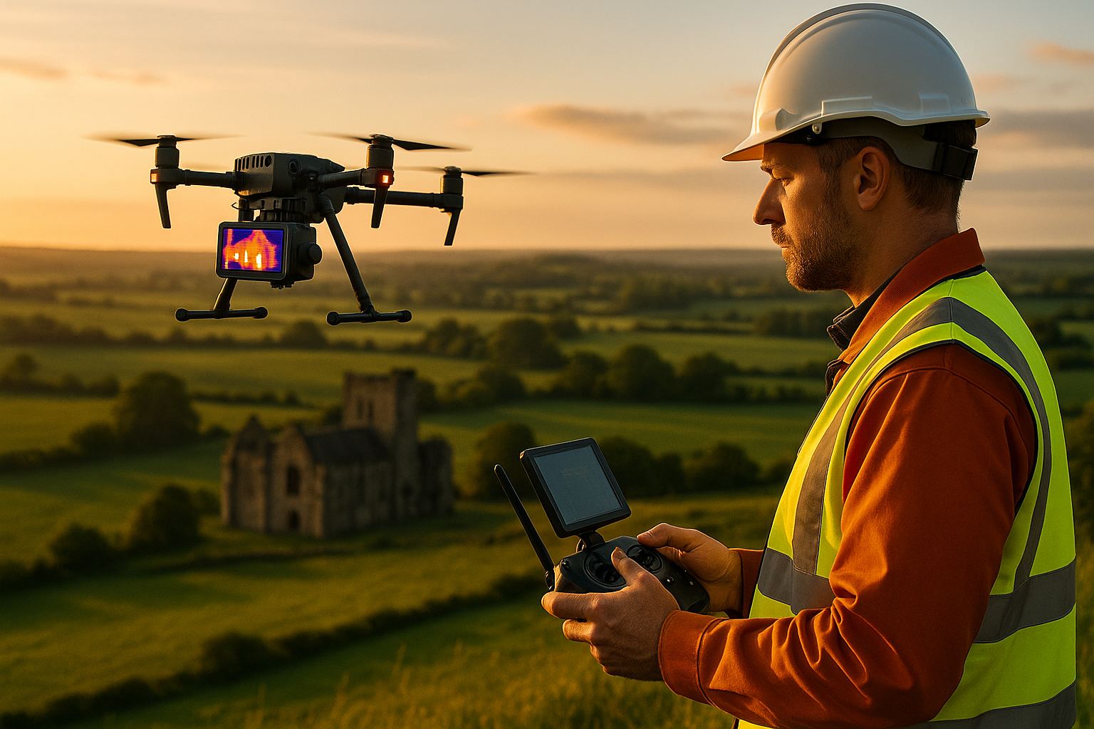
A higher-resolution thermal camera lets a drone resolve smaller anomalies from the same height, or the same anomalies from a greater height. It does not make a thermal survey valid. The DJI Matrice 5T, launched on 5 November 2026, carries a thermal sensor with a native resolution of 1280 x 1024 pixels, four times the pixel count of the 640 x 512 sensors that have been the working standard on enterprise drones. For the client of a thermal imaging survey that is a real change in what can be seen on a roof, a solar array or a facade. It changes nothing about the conditions the survey must be flown in, and those conditions are what decide whether the findings can be relied on.
Angell Surveys Ltd does not operate the Matrice 5T, the docked Matrice 5TD or any drone dock, and nothing here is a product review or a recommendation. This is a surveyor’s view of what sensor resolution means for the deliverable, whichever aircraft carries the camera.
What does a 1K thermal sensor actually change?
Thermal ground sample distance (GSD) is the size of the patch of roof, module or wall that one thermal pixel covers. It is set by three things: the pixel pitch of the sensor, the focal length of the lens and the distance to the surface. For a given lens and field of view, doubling the number of pixels across the image halves the GSD at the same distance.
That gives the survey planner a choice the lower-resolution sensor did not:
- Hold the height and see finer detail. Each pixel covers a patch half as wide, so a smaller defect is sampled by enough pixels to be measured rather than merely glimpsed.
- Hold the detail and fly higher. The same thermal GSD is available from roughly twice the distance, which means a wider footprint per image, fewer flight lines and a shorter time on site. On a time-critical survey that matters, because the conditions window may only last an hour or two.
The launch coverage also reports LiDAR and millimetre-wave radar on the airframe. Those are obstacle-sensing aids for the aircraft, there to detect wires and structures in poor visibility. They are not a survey-grade LiDAR payload and they produce no point cloud deliverable.
What is the smallest anomaly a thermal survey can resolve?
An anomaly that falls on a single pixel is averaged with whatever surrounds it, so its apparent temperature is diluted and it may not register at all. A thermographer therefore plans the survey so the smallest feature of interest spans several pixels in each direction, and the thermal GSD required follows from that feature size rather than from the camera’s headline resolution.
What the feature is depends on the job:
- Solar PV. The target is the individual cell or the bypass-diode substring within a module. IEC 62446-3 sets a minimum geometric resolution on the module for outdoor PV thermography, and the flight height is derived from it.
- Flat-roof moisture. The target is a patch of wet insulation beneath the membrane, usually far larger than a pixel, so resolution is rarely the limit; timing is.
- Building envelope. The target ranges from a missing insulation batt to a thermal bridge at a lintel or a draught path at a window reveal. Fine features on a tall elevation are where a higher-resolution sensor earns its place.
A sensor with four times the pixels moves the threshold. It does not remove the need to state it. A thermal report should say what the thermal GSD was and, from that, the smallest anomaly the survey was capable of detecting, so that “no anomaly found” has a defined meaning.
What do more thermal pixels not buy?
Three things sit outside the camera entirely.
- Valid conditions. A building-envelope survey needs a temperature difference of more than 10°C between inside and outside, no recent rain and low wind, which in the UK means a pre-dawn survey in the heating season. Solar PV thermography needs irradiance above 600 W/m², a clear sky and the array under load. Flat-roof moisture work is flown in the hours after sunset following a sunny day, on a dry membrane. Flown outside those conditions, a 1K sensor records a sharper image of nothing useful. Our guide to how a thermal imaging survey works sets the conditions out in full.
- Absolute temperature. A thermal camera measures radiated energy and converts it to an apparent temperature using an assumed emissivity and reflected background. More pixels do not improve that conversion. Findings rest on the temperature difference between a suspect area and a sound reference under the same conditions, interpreted by a qualified thermographer.
- A stated detection threshold. Resolution makes a finer threshold achievable. The deliverable still has to record it, together with the ambient temperature, wind, sky and time of capture, so the interpretation can be evidenced if it is challenged.
What does this mean for roof and solar PV surveys?
For rooftop solar, finer thermal detail from a safe height helps separate a cell-level hot spot from a whole-module fault on arrays that are awkward to approach, and it pairs naturally with the condition evidence described in our piece on roof surveys for solar panels. For ground-mounted arrays the gain is mostly productivity: the required resolution on the module from a greater height, and so more of the site covered inside the irradiance window.
For building envelopes the gain is on tall or intricate elevations, where small features high on a facade can be resolved without flying close to occupied windows. Thermal findings are far more useful when they are located on drawings; where no reliable elevations exist, a measured building survey provides the base they are marked up on.
Whatever the sensor, the questions a client should ask are the same. What standard is the survey to: BS EN 13187 for building fabric, IEC 62446-3 for PV? What conditions will it be flown in, and how are they recorded? What is the smallest anomaly the survey will resolve? Who interprets the imagery, and at what thermography category? To scope a survey against those questions, send us the site and the purpose and we will set out the method, the conditions window and the deliverables.
Frequently asked questions
Does a higher-resolution thermal camera make a thermal survey more accurate?
It makes the survey resolve smaller features, or the same features from further away. It does not make temperature readings more accurate, and it does not make a survey valid in the wrong conditions. Validity depends on temperature differential, sky, wind and timing, all of which are recorded in the report.
What is thermal ground sample distance?
Thermal ground sample distance is the size of the area on the surface covered by one thermal pixel. It depends on the sensor’s pixel pitch, the lens focal length and the distance to the surface. It determines the smallest anomaly a thermal survey can reliably detect, and it should be stated in the deliverable.
Does Angell Surveys operate the DJI Matrice 5T?
No. Angell Surveys Ltd operates neither the Matrice 5T, the Matrice 5TD nor any drone dock. Our thermal imaging surveys are flown and interpreted to BS EN 13187 and IEC 62446-3 by a Category 2 thermographer, and the principles in this article apply whichever aircraft carries the sensor.