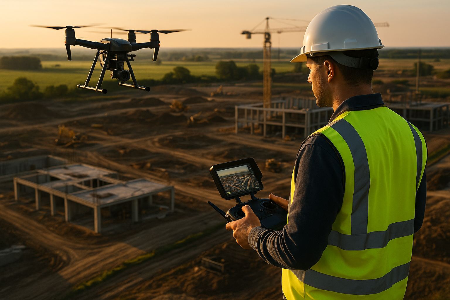
Drone-in-a-box monitoring automates the flying, not the surveying. A docked aircraft can repeat the same flight on a fixed site daily without a crew travelling to it, which makes high-frequency progress and condition records affordable. It does not establish survey control, re-observe check points, or prove an accuracy band. Whether the output is a measured deliverable or a picture still depends on the control framework and the quality evidence issued with it.
DJI launched Dock 4 and the Matrice 5TD together on 14 October 2026. Dock 4 is the first DJI dock that swaps the aircraft’s battery rather than charging it in place, cutting the turnaround between sorties; the M5TD is the airframe built for it. Coverage through the following week paired the launch with dock-based beyond-visual-line-of-sight monitoring of a transmission project overseas, and that pairing — permanent infrastructure, permanent aircraft, repeat capture — is the use case worth taking seriously.
Angell Surveys does not operate a drone dock. Our fleet is mobilised to site: DJI Matrice 400 with the Zenmuse L3, a Wingtra RAY, RTK GNSS, handheld SLAM and an Elios for confined spaces. This article is a surveyor’s assessment of what docked monitoring is good for, written for asset owners and contractors being offered it.
What is drone-in-a-box monitoring?
A weatherproof enclosure sits permanently on site with an aircraft inside it. The aircraft launches on a schedule or on demand, flies a stored route, lands, recharges or swaps its battery and uploads its data, with no one on site. The operator is remote. On a long-duration site this changes the economics of frequency: a weekly flight becomes a daily one at no extra mobilisation, because there is no mobilisation.
That is a genuine change, and it is a narrow one. Everything that makes a flight a survey — control, georeferencing, verification, classification, interpretation — sits either side of the flight, and none of it is in the box.
Does automated capture produce survey-grade data?
Only if the survey framework around it is built and maintained. Three things decide it, and a dock supplies none of them on its own.
Control. Repeat capture is only comparable epoch to epoch if every epoch sits on the same control. That means permanent ground control on stable positions outside the works, observed by RTK GNSS and re-checked, so that each flight is tied to the same realisation of OSGB36 and ODN rather than to whatever the onboard GNSS produced that morning. RTK or PPK positioning of the camera or sensor is necessary and not sufficient: it fixes the aircraft’s trajectory, not the accuracy of the surface derived from it.
Independent check points. An accuracy band is a measured claim, not a specification sheet. Under Measured surveys of land, buildings and utilities, 3rd edition (RICS, 2014), the band is agreed in the brief and demonstrated by residuals at independent check points that were not used in the adjustment. On a docked programme nobody is standing on site to observe them, so either a surveyor attends periodically to re-observe the check point network, or the programme has no accuracy evidence at all — only a consistent-looking number. Our UAV survey QA/QC methodology sets out how measured residuals are reported rather than advertised.
Consistency of flight design. Comparability depends on identical altitude, overlap, sensor settings and, for volumetric work, identical ground sampling and processing parameters. A dock is very good at this — better than a crew, because it repeats the stored mission exactly. This is the one part of the problem automation genuinely solves.
The honest summary: a docked programme can hold a RICS band if a chartered practice designs the control, verifies it on a stated interval and reports the residuals. Without that it produces a useful visual record and volumes of unknown accuracy.
Where does a dock fit, and where is a mobilised crew still the right answer?
A dock earns its place where the site is fixed, the programme is long and the value is in frequency:
- Earthworks in progress. Daily or twice-weekly cut, fill and stockpile records over a multi-month programme, which is the natural extension of weekly UAV earthworks monitoring on our earthworks sector commissions.
- Construction progress records. Dated evidence of what was built when, for programme and dispute records.
- Fixed-asset condition monitoring. Substations, plant, compounds, tailings and landfill cells where the same views are wanted repeatedly and change over time is the finding.
- Security and incident response on a bounded site, where a camera in the air within minutes has value a planned flight does not.
A mobilised crew remains the right answer where the work is not repetitive, or not confined to one site:
- One-off topographic and measured work. A topographic survey is specified, flown, controlled and signed once; there is nothing for a permanent installation to amortise against.
- Corridors and large areas. Roads, rail, overhead lines and pipelines are linear and move past a fixed dock’s reach; a fixed-wing aerial survey covers them in a single mobilisation.
- Anything needing a sensor the docked aircraft does not carry. A docked airframe carries what it carries. Survey-grade drone LiDAR under vegetation, high-density facade capture, or confined-space flight inside a structure are sensor and airframe decisions, not scheduling decisions.
- Judgement on site. A surveyor present notices the flooded excavation, the moved compound, the new scaffold and the access change. A stored mission flies over all of it.
What does UK regulation require for a docked operation?
Most of the published value of a dock assumes beyond visual line of sight (BVLOS) flight, and that is where UK operations are harder than the marketing suggests. Routine BVLOS needs an operational authorisation justified through UK SORA, with the containment requirements that follow from the ground risk and the volume being flown — and containment is exactly the argument that an uncrewed, remotely supervised launch makes harder, not easier. Amended containment requirements under the UK SORA framework took effect on 1 October 2026, so any authorisation case written before that date is now being assessed against changed expectations. The authorisation attaches to the operator, not the hardware: buying a dock does not buy the permission to use it unattended, and an asset owner procuring a docked service should ask to see the authorisation and its limitations, not the aircraft specification. Our OSC to UK SORA transition and BVLOS roadmap explains how the regime is changing; the 2026 UK CAA regulation summary covers the wider position for commercial operators.
Who owns the data, and who carries the QA burden?
A dock produces data continuously, which turns three quiet questions into commercial ones.
Ownership and residency. Daily capture of a critical national infrastructure site accumulates a detailed record of it. Where that data lands, who can read it, how long it is retained and what happens to it when the contract ends should be settled in writing before the enclosure is bolted down, not after.
Processing load. Flying daily is easy once the dock is installed; processing, differencing and reporting daily is not. The cost of a monitoring programme moves from site time to desk time, and a programme that captures more than it reports simply builds an archive nobody reads.
Verification interval and accountability. Someone has to own the accuracy statement. Automation makes it easy to issue a volume every morning with no one attesting to it. The practical arrangement on infrastructure work is an agreed verification interval — a surveyor attending to re-observe control and check points on a stated cycle, with the automated epochs between visits reported against that evidence and the band stated on each issue.
The surveyor’s view
Dock 4 is a real improvement to an existing idea: battery swapping raises the duty cycle, and higher frequency is worth having on a long fixed-site programme. None of it changes what makes survey data trustworthy. Automation removes travel, not responsibility — and on infrastructure the question an auditor asks is never how the aircraft took off, it is which control the measurement sits on, who verified it and to what band.
If you are weighing automated monitoring against a surveyed monitoring programme for a live site, talk to us about the control framework first. The capture method is the easy part.