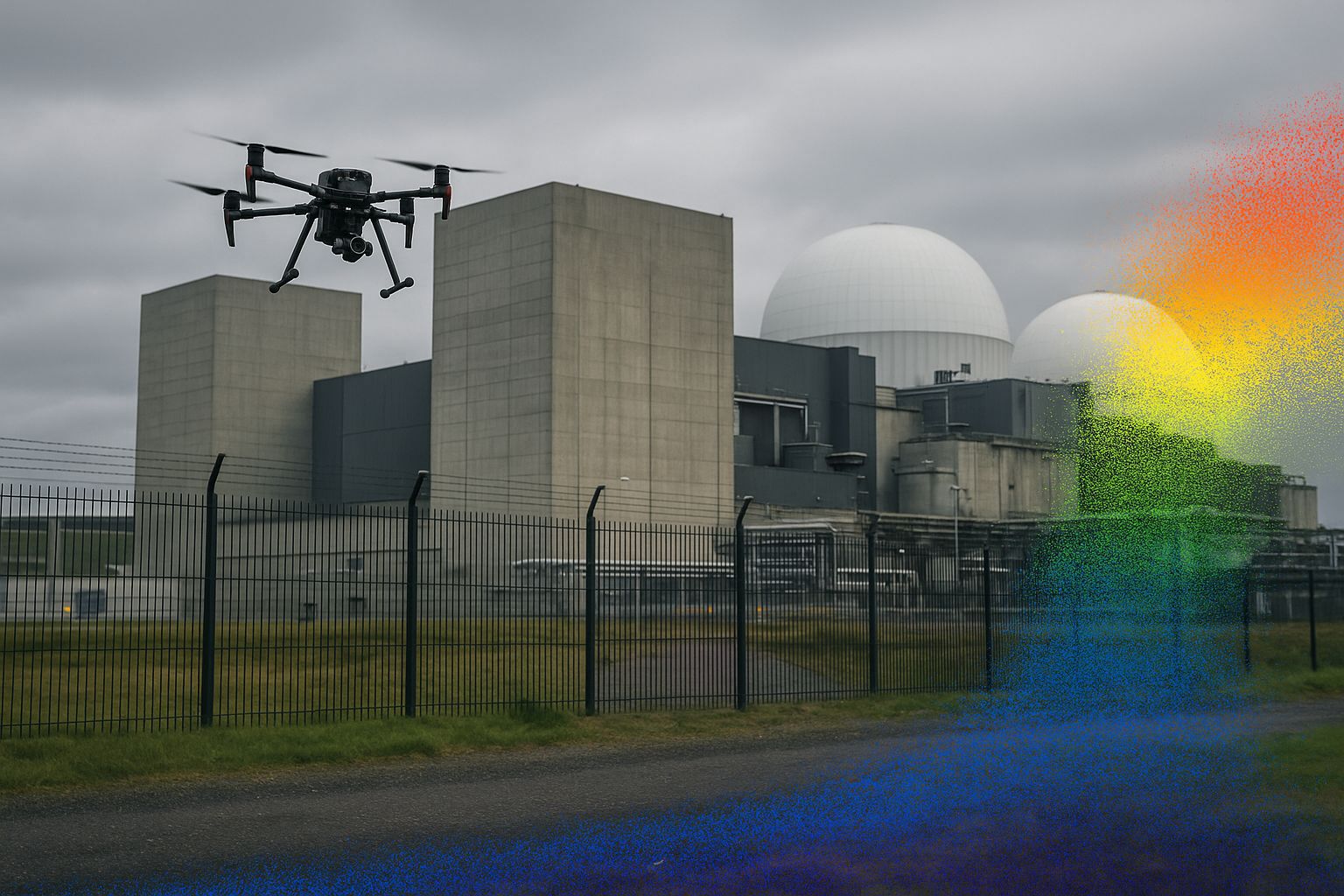
Can drone surveys be flown on nuclear licensed sites? Yes. Angell Surveys delivers aerial survey, confined-space UAV inspection and structure condition survey on nuclear-licensed sites with security-vetted personnel, working under the site’s safety case, radiation work permits and a site-specific RAMS. The capture techniques are the same as elsewhere; the site’s own access and assurance regime is what sets the programme length.
A UAV survey on a nuclear-licensed site is a survey wrapped in a security, safety and access regime that exists in no other sector. The capture itself — photogrammetry, LiDAR, confined-space inspection — uses the same techniques as anywhere else. What makes nuclear survey work different is everything around the flying: the vetting to get on site, the exclusion zones you cannot cross, the airspace restrictions, the radiological controls, and the documentation that has to satisfy the site’s nuclear safety case.
This guide explains how the workflow is built around those constraints. If you need a survey delivered, see our nuclear sector page and aerial survey service.
Why nuclear is different
Most survey constraints are about the work. On a nuclear-licensed site the dominant constraints are about access and assurance:
- Security vetting. Survey personnel need clearance to the level the site’s security management plan requires, arranged in advance — this is often the longest-lead item in the whole programme, measured in weeks not days.
- Escorted access and exclusion zones. Large areas of a licensed site are off-limits or accessible only under escort. The survey plan has to be agreed against the site’s zoning before anyone arrives, and the flight plan respects exclusion boundaries that are not negotiable.
- Airspace. Many nuclear sites sit under restricted airspace or near it. UAV operations require coordination with the site’s own airspace management as well as the standard CAA Operational Authorisation, and flight windows are tightly controlled.
- Radiological controls. Equipment and personnel may need monitoring; some areas have dose constraints that limit time on station. The survey is planned to minimise occupancy of controlled areas — which is itself one of the strongest arguments for UAV capture.
Why UAV capture suits the sector
The nuclear sector’s defining survey driver is keeping people out of hazardous, controlled or inaccessible areas — and that is exactly what UAV and remote capture deliver:
- External structures — reactor buildings, stacks, cooling structures, stores — captured from the air without scaffolding or rope access, reducing both working-at-height risk and time in controlled areas.
- Confined and inaccessible voids — ducts, vessels, shafts, ponds, cells — inspected by collision-tolerant UAV without manned confined-space entry. See our confined-space Elios inspections guide.
- Earthworks and laydown areas — monitored by fixed-wing UAV on a repeat cycle, the same methodology as our CNI weekly earthworks monitoring programme, which runs on Critical National Infrastructure sites under exactly this kind of security and access regime.
Every cubic metre measured from the air, and every void inspected by drone, is occupancy of a controlled area avoided — which is the ALARP (as low as reasonably practicable) principle the sector is built on, applied to survey activity.
The workflow under constraint
A nuclear survey programme is front-loaded with planning that other sectors do at the last minute:
- Pre-mobilisation — security clearances arranged; the survey and flight plan agreed against the site’s zoning, exclusion zones and airspace; RAMS and method statements submitted and approved; equipment monitoring arrangements confirmed.
- Escorted mobilisation — survey teams escorted to the work areas; control established within the accessible zones, tied to OSGB36 / Newlyn ODN where GNSS is available and carried into shielded or enclosed areas by other means — see our GNSS-degraded environments guide.
- Capture — flown or scanned inside the agreed windows, respecting exclusion boundaries and dose constraints.
- Controlled data handling — site data handled per the security classification; deliverables produced and transferred under the agreed information-security arrangements.
Deliverables for the nuclear sector
The survey deliverables are conventional — it is the assurance wrapper that is sector-specific:
- Topographic surveys, DTM/DSM and orthomosaics for site development and earthworks
- Measured building and structure surveys, point clouds and BIM-ready models for asset management and decommissioning planning
- Confined-space inspection reports with 3D models of inaccessible voids
- Volumetric and progress monitoring on a repeat cycle
- All referenced to OSGB36 / Newlyn ODN with accuracy reported against independent check points, to the RICS Measured Surveys of Land, Buildings and Utilities (3rd edition) bands
Decommissioning and asset management
The UK’s nuclear estate is increasingly focused on decommissioning, where survey plays a specific role: capturing the as-is condition of structures and voids that will be dismantled, often in areas people cannot easily or safely enter. A dense point cloud and 3D reality model of a structure before decommissioning gives the planning teams accurate geometry to work from without repeated physical access — and a permanent record of a structure that will no longer exist.
Frequently asked questions
What’s the longest-lead item in a nuclear survey? Security vetting of survey personnel — arranged weeks in advance to the level the site’s security management plan requires. The flying is fast; getting cleared to do it is the programme driver.
Why is UAV capture so suited to nuclear sites? Because the sector’s priority is keeping people out of hazardous, controlled and inaccessible areas. Every structure captured from the air and every void inspected by drone avoids occupancy of a controlled area — the ALARP principle applied to survey work.
Can you survey inside shielded or enclosed structures with no GNSS? Yes — control is carried in from where GNSS is available, by total-station traverse or registered scanning, so the interior inherits the same OSGB36 / ODN framework. Confined voids are inspected by collision-tolerant UAV without manned entry.
How is site data handled? Per the site’s security classification and information-security arrangements, agreed before mobilisation. Data handling is part of the approved programme, not an afterthought.
For survey and inspection work on nuclear-licensed and Critical National Infrastructure sites, see our nuclear sector page, aerial survey service and confined space & remote inspection service. We hold the safety, training and insurance for licensed-site working, with security-vetted personnel and CAA Operational Authorisation.