Technical Guides
How to Survey a 250-Hectare Solar Farm and BESS Site: Method, Control, Deliverables and Accuracy
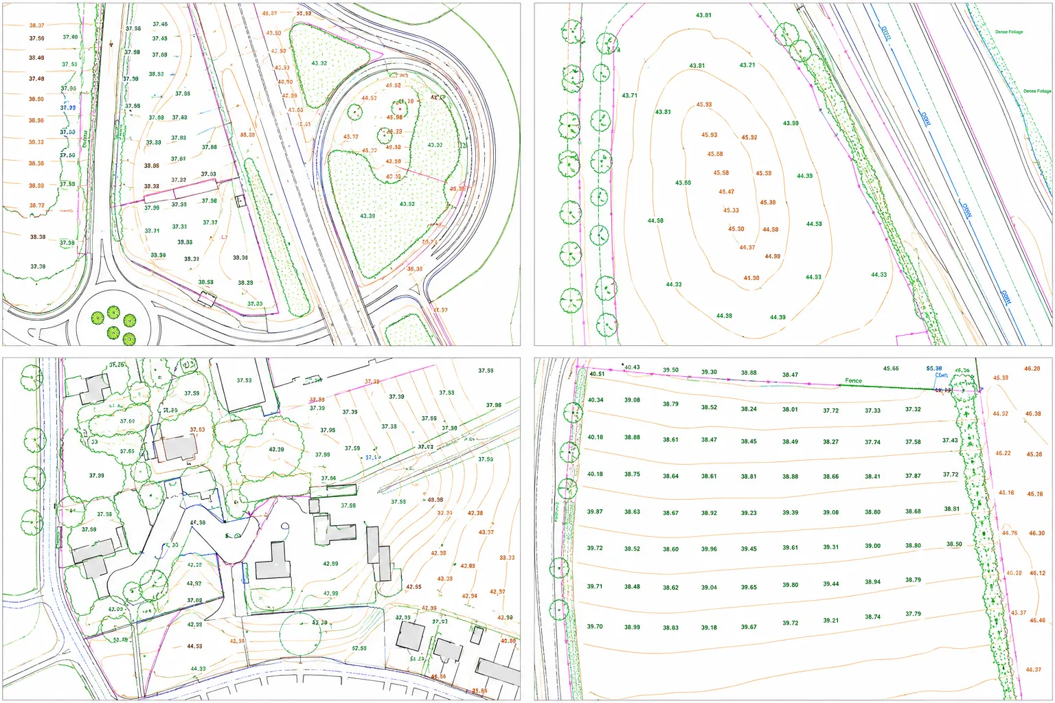
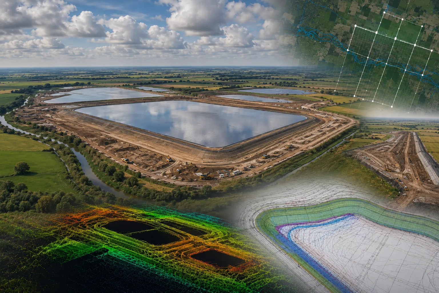
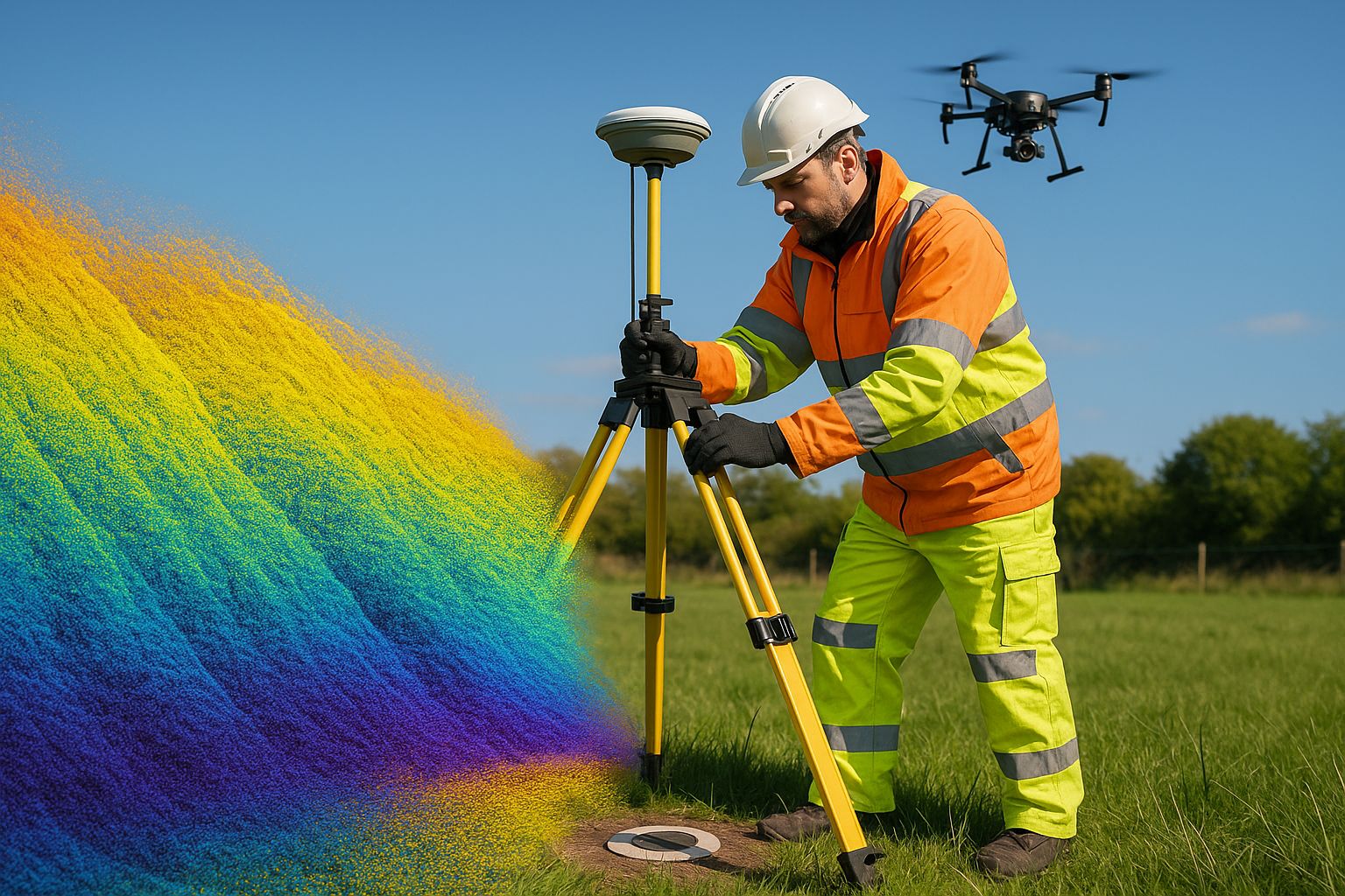
A large ground-mounted solar and battery storage site is surveyed in one fixed-wing UAV sortie carrying LiDAR and a metric camera, controlled by a GNSS ground-control network tied to OSGB36 and Ordnance Datum Newlyn, and verified against independent check points. This guide sets out the method we used on a 250 ha Lincolnshire DCO site, the flight and control parameters, the deliverable set each consenting workstream needs, and the accuracy achieved.