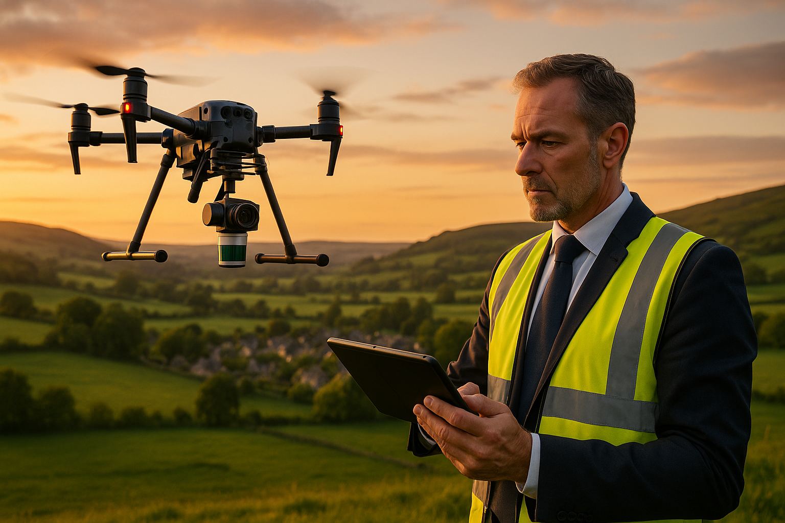
Choose UAV LiDAR where the ground surface is hidden by vegetation, poorly textured or in shadow; choose UAV photogrammetry where the surface is open and textured and a colour orthomosaic matters. Both hold RICS Band D or E on hard detail with proper ground control (RICS, 2014). On most large sites the right answer is to fly both from one platform and fuse the results.
This guide is the long-form companion to the comparison on our photogrammetry service page and LiDAR service page. It works through the ground types a specifier actually meets rather than the sensors.
How do the two methods measure the ground?
Photogrammetry reconstructs a surface from overlapping photographs. Software matches the same texture in many images, solves the camera positions, and triangulates a dense coloured point cloud. It measures whatever the camera can see: the top of the canopy, the top of the grass, the top of a stockpile. It needs daylight, texture and a mechanical-shutter camera for survey work.
LiDAR measures range directly by timing laser pulses. A pulse that hits a hedgerow can return several echoes; the last one may be from the ground beneath. It works in flat light and on texture-poor surfaces, but records intensity rather than colour, and it does not penetrate water.
The two are complementary, which is why we fly both — our own LiDAR is the DJI Zenmuse L3 on a Matrice 400; for large envelopes and corridors a LiDAR payload is flown on the Wingtra fixed-wing, hired in for the project — and why large envelopes are normally captured with both.
Which method suits which ground?
| Ground or target | Photogrammetry | UAV LiDAR | Recommendation |
|---|---|---|---|
| Open hard ground: roads, hardstanding, compounds | Excellent; Band D or E with GCPs; best orthomosaic | Good; Band D or E | Photogrammetry, or both if a point cloud for design is needed |
| Short grass, arable stubble, bare earthworks | Good; surface is the ground or close to it | Good | Photogrammetry for repeat monitoring; LiDAR adds little |
| Long grass, crops, scrub, gorse, bracken | Surface is the top of the vegetation, not the ground | Ground returns through gaps; DTM depends on density and season | LiDAR for any DTM used in design or drainage |
| Hedgerows, woodland, riparian margins | Cannot see the ground | Multi-return ground extraction; leaf-off season improves it | LiDAR essential; see can drones survey through vegetation? |
| Stockpiles and quarry benches | Excellent on bare material; dense surface for volumes | Good; helps where the pile base is in vegetation | Photogrammetry for routine volumes; LiDAR where the base surface is obscured |
| Embankments, reservoir faces, cuttings | Grassed faces read high | Bare-earth face and toe recovered | LiDAR; see UAV LiDAR for reservoir surveys |
| Structures and facades | Excellent when flown obliquely; textured model | Good geometry, no colour | Photogrammetry for visual models; terrestrial scanning for Band A to C |
| Overhead lines and thin features | Poorly reconstructed | Captured as discrete returns | LiDAR |
| Linear corridors: rail, highway, pipeline, river | Good with cross-strips and staggered control | Good; ground under verge and cess vegetation | Both from one fixed-wing sortie; see corridor mapping |
| Water surfaces and beds | Surface only, often noisy | Not penetrated; water level recorded on the day | Neither; bathymetric survey for bed levels |
| Shadowed or low-light ground: north faces, winter, under structures | Degraded or fails | Independent of ambient light | LiDAR |
What do the two methods deliver differently?
| Property | Photogrammetry | UAV LiDAR |
|---|---|---|
| Colour | True-colour point cloud and orthomosaic | Intensity only; colour can be draped from imagery |
| Ground under cover | No | Yes, subject to canopy density |
| Point density | Very high on textured surfaces | High, set by pulse rate, speed and passes |
| Light and weather | Needs daylight and dry lenses | Works in flat light; not in rain |
| Hard-detail accuracy with control | RICS Band D or E | RICS Band D or E |
| Primary products | Orthomosaic, DSM, textured mesh, point cloud | Classified LAS point cloud, DTM, DSM, canopy height model |
| Verification | Independent check points | Independent check points |
The last row is the important one. Whichever method is chosen, the accuracy is what the check points say it is, reported against the RICS band table, not what the sensor claims. Our QA/QC methodologies guide explains the reporting.
When should both be flown?
Any envelope that mixes open ground with hedgerows, woodland blocks or watercourse vegetation benefits from both. The photogrammetry supplies the orthomosaic and the best surface on open ground; the LiDAR supplies the bare-earth model where the camera cannot see. Captured from one aircraft on one GNSS and inertial reference, the two datasets share the same control and can be fused: LiDAR-derived heights in vegetated and boundary zones, photogrammetric heights across open textured ground.
That is how a 250 hectare Lincolnshire solar site was surveyed: the LiDAR component gave ground penetration through hedgerow, tree canopy and scrub along the field boundaries where photogrammetry alone would have produced a false surface, and the fused DTM went to the drainage engineer, flood-risk modeller and earthworks contractor from a single control network. Read the case study.
Does one method cost more than the other?
Relative to each other, LiDAR capture and processing carries more overhead than photogrammetry on the same envelope, because of the sensor, the base-station and trajectory work and the classification effort. On open ground with no vegetation that overhead buys little. On vegetated ground it buys the only usable DTM. The economic decision is therefore made by the ground, not by preference, and the most cost-effective brief specifies the deliverable and the accuracy band and leaves the method to the surveyor. Our guide on fixed-wing versus multirotor economics makes the same point about airframes.
How should the choice be written into a brief?
- State the use: drainage design, earthworks balance, flood modelling, visual record, BNG baseline
- State the RICS band required on hard detail, and whether a bare-earth DTM under vegetation is required
- Describe the ground cover and season, or supply an aerial image
- Ask for a classified point cloud if any downstream user will model from it
- Ask for the accuracy report with hard and soft detail reported separately
Our guide on how to brief a UAV topographic or corridor survey gives the full ten-point list.
How Angell Surveys does this
Angell Surveys is regulated by RICS and flies Wingtra fixed-wing VTOL aircraft for photogrammetry, with a LiDAR payload on the fixed-wing for large envelopes and the DJI Zenmuse L3 on a Matrice 400 otherwise, alongside terrestrial laser scanning for engineering-tolerance work. Method selection is made against the ground and the specified band, not the other way round. For a water company’s reservoir consenting programme across about 70 square kilometres of fenland, mature hedgerow boundaries ruled photogrammetry out as the sole source of ground levels, so the LiDAR bare-earth model carried the hydraulic modelling while the orthomosaic served the environmental and land-referencing teams. For a conservation trust’s upland catchment survey in Stirlingshire, the same combined payload produced a sub-50 cm DTM and orthomosaic on OSGB36 from a small number of sorties.
Related services
Sources
- RICS, Measured Surveys of Land, Buildings and Utilities, 3rd edition, November 2014: accuracy band table.
- RICS, Earth Observation and Aerial Surveys, 6th edition, March 2023.
- Angell Surveys case studies: 250 ha solar farm and BESS, Lincs and Fens reservoirs, Calair Burn catchment.
- Angell Surveys guides: point cloud capture methods compared, drone photogrammetry survey guide.