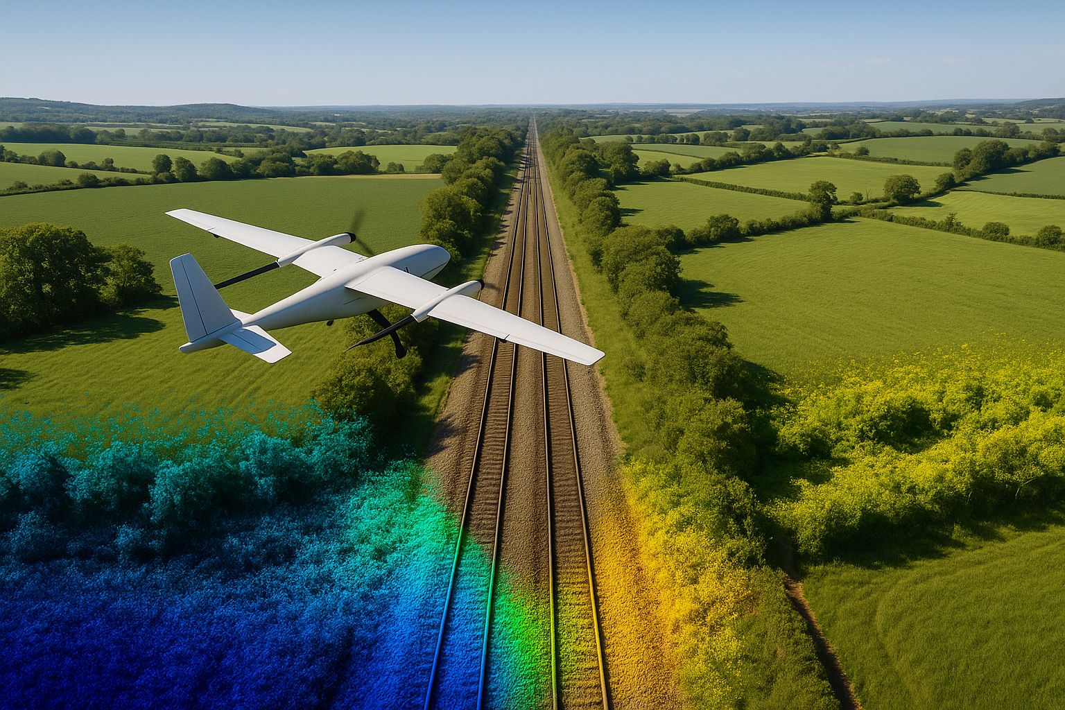
Angell Surveys operates two Wingtra vertical take-off and landing (VTOL) fixed-wing UAVs for large-area and corridor photogrammetry — the WingtraRAY carrying the 61-megapixel oblique MAP61 camera, and the WingtraOne GEN II carrying the 61-megapixel RGB61 — and the DJI Zenmuse L3 LiDAR on a DJI Matrice 400 for bare-earth capture beneath vegetation, overhead lines and access-constrained sites. For the largest envelopes and corridors a Wingtra LiDAR payload is flown on the fixed-wing, hired in for the project, so that LiDAR and imagery are captured in one sortie on one control network. Small sites, structures and quick-turnaround topographic work are flown with the DJI Matrice 4E, and inspection inside tanks, shafts, chambers, culverts and bridge voids with the Flyability Elios. Every aerial survey is specified to RICS Band F or better and verified against independent check points; most delivered work verifies at Band D–E.
This guide exists so that a brief can be written around outputs rather than aircraft. It supports our aerial survey, aerial LiDAR, photogrammetry and topographic survey services.
WingtraRAY with MAP61
The WingtraRAY is Wingtra’s current-generation VTOL fixed-wing survey aircraft. Its MAP61 payload is a 61 MP full-frame camera with a 17 mm lens mounted at a 15° oblique tilt, recording a 93° swath so that a single grid flight captures both the ortho view and enough oblique geometry for a detailed 3D model of façades and vertical assets. Wingtra’s published figures give a ground sample distance down to 1.2 cm/px and coverage of up to about 460 ha in a single flight at 2.7 cm/px, with PPK positioning. We use it where the site is large, where a 3D mesh is a deliverable in its own right, and on corridors where the wide swath reduces the number of flight lines.
WingtraOne GEN II with RGB61
The WingtraOne GEN II is the earlier-generation Wingtra VTOL fixed-wing, carrying the RGB61: a 61 MP full-frame camera with a 24 mm lens mounted nadir. Wingtra’s published figures give a ground sample distance from about 0.7 cm/px to 11 cm/px depending on height, and coverage in the order of 310 ha per flight at 120 m above ground at roughly 1.9 cm/px. The longer lens makes it the higher-resolution nadir option for topographic detail — kerb lines, drain covers, field boundaries — on large sites where a conventional orthomosaic and surface model are the products.
Both aircraft need no runway or launcher, transition to forward flight for the survey lines, and are positioned by multi-frequency GNSS with post-processed kinematic correction. PPK reduces the number of ground control points a flight needs; it does not remove the need for independent check points, which we observe on every project (see ground control points for drone mapping).
DJI Zenmuse L3 LiDAR
The Zenmuse L3 is DJI’s long-range survey LiDAR, flown on our DJI Matrice 400. Its 1535 nm laser runs at an adjustable pulse repetition rate from 100 kHz to 2 MHz and records up to 16 returns per pulse; DJI’s specification gives vertical accuracy better than 3 cm at 120 m flight height. We select the pulse rate for the task — a higher rate for dense terrain capture, 350 kHz with all returns on transmission-line work so that conductors, gantries and the ground beneath are separated in one pass (see UAV LiDAR for overhead lines and substations). LiDAR is the sensor for ground under hedgerows, scrub and woodland, where photogrammetry models the canopy instead; see can drones survey through vegetation?.
DJI Matrice 4E for small sites
The Matrice 4E is DJI’s compact enterprise mapping aircraft and our platform for small sites, structures and short-notice topographic work where a fixed-wing sortie is not justified. Its wide camera is a 4/3-inch 20 MP sensor with a mechanical shutter and a 24 mm equivalent lens, which is what makes it usable for photogrammetry rather than just photography; it also carries 48 MP medium-telephoto and telephoto cameras for oblique and detail capture, an integrated RTK module that connects to an NTRIP correction service, and up to 49 minutes of flight time. It launches from a car boot, flies a planned grid over a few hectares in one battery, and is processed against the same ground control and check-point discipline as the larger aircraft.
Flyability Elios for confined spaces
For inspection inside structures — storage tanks, pressure vessels, chimneys and silos, manholes and shafts, culvert headwalls, bridge voids and box sections — we fly Flyability Elios collision-tolerant aircraft: the current-generation Elios 3 and the earlier Elios 2. Both carry 4K video and onboard lighting inside a protective cage; the Elios 3 adds a SLAM-based LiDAR that builds a navigable 3D model of the space as it flies, so each defect can be located within the structure rather than only photographed. The aircraft is launched from outside through an existing opening of roughly 500 mm or more, which removes the need for manned entry, breathing apparatus, rescue teams and standby personnel. The method, its limits and a delivered example are set out on our confined-space inspection page and in the Thames Water deep manhole inspection case study.
Which platform for which job
| Job | Platform | Why |
|---|---|---|
| Large open site, orthomosaic and DTM the products | WingtraOne GEN II / RGB61 | Highest nadir resolution over hundreds of hectares in one or two flights |
| Large site with a 3D model deliverable, or vertical assets | WingtraRAY / MAP61 | Oblique 93° swath gives model geometry from the same grid |
| Corridor: rail, highway, pipeline, river | WingtraRAY or GEN II | Fixed-wing speed and endurance over long lines; control at intervals along the corridor |
| Vegetated ground, bare-earth DTM required | Zenmuse L3 on the Matrice 400; Wingtra LiDAR payload (hired in) on the largest envelopes | Multi-return LiDAR recovers ground beneath canopy |
| Overhead lines, substations | Zenmuse L3 | High pulse rate and 16 returns capture conductors and structures together |
| Small sites, structures, façades, quick-turnaround topo | DJI Matrice 4E | Compact multirotor with a mechanical-shutter mapping camera and RTK; flexible launch, close range, oblique capture |
| Inside tanks, shafts, chambers, culverts, bridge voids | Flyability Elios 3 / Elios 2 | Caged, collision-tolerant aircraft; 4K video and lighting; Elios 3 SLAM LiDAR locates defects in 3D; no manned entry |
On many projects LiDAR and imagery are captured together on one control network — on the largest sites from a single fixed-wing sortie carrying both sensors, otherwise as fixed-wing photogrammetry plus Zenmuse L3 LiDAR. That combination produced the bare-earth model for the 250 ha solar farm and BESS site, where LiDAR ground returns replaced the false hedgerow surfaces an image-only model would have carried into the drainage design.
Accuracy: how it is specified and proved
Every aerial survey is specified before flight to a band in the RICS Measured Surveys of Land, Buildings and Utilities, 3rd edition (RICS, 2014) table — Band F or better — and is verified after processing against independent GNSS check points withheld from the adjustment. The achieved residuals are reported with the data; on the Lincolnshire solar site they were ±3.1 cm vertical and ±2.3 cm horizontal RMSE against a ±5 cm specification. What the deliverable pack should contain, and how to check it, is in what a drone survey deliverable pack contains.
Where the fleet is not the answer
- Engineering tolerances tighter than the aerial band — setting-out, structural verification — are captured by terrestrial laser scanning or total station and GNSS; see point cloud and laser scanning survey.
- Below ground. No aerial sensor detects buried services; see PAS 128 utility survey.
- Weather, light and airspace limit every platform; programmes carry contingency and every flight is planned under our CAA operational authorisation.
How to brief a survey
State the extent, purpose, datum and grid, accuracy band, deliverables and formats, resolution, existing control and access; the platform follows. See how to brief a UAV topographic or corridor survey or contact a surveyor.
Sources
- Wingtra, WingtraRAY and MAP61 specifications; WingtraOne GEN II and RGB61 specifications (wingtra.com), accessed September 2026.
- DJI Enterprise, Zenmuse L3 and Matrice 4 Series specifications (enterprise.dji.com), accessed September 2026.
- RICS, Measured Surveys of Land, Buildings and Utilities, 3rd edition, 2014.