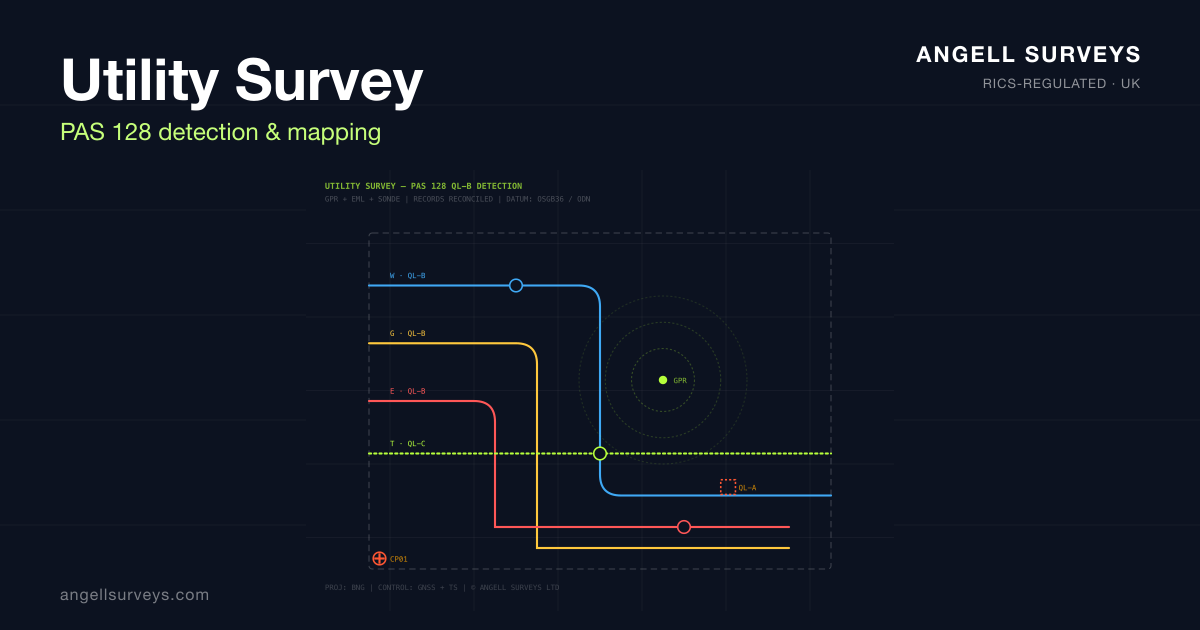
PAS 128:2022 gives every buried utility on a survey drawing a quality level that records how it was located: QL-D from records only, QL-C from site reconnaissance, QL-B4 to QL-B1 from geophysical detection with rising confidence, and QL-A from physical exposure. For design and excavation, specify QL-B1 across the site and QL-A at clash-critical points. The RICS band table places QL-A in Band E and QL-B1 in Band G.
This guide supports our PAS 128 utility survey service. Our earlier article, PAS 128 quality levels explained, is the plain-English primer; this one goes into the 2022 sub-levels, the methodology types and the RICS band equivalents that appear on our drawings.
What are the four PAS 128 survey types?
PAS 128:2022, Specification for underground utility detection, verification and location, is published by BSI. It defines four survey types, each producing a quality level. The descriptions below follow the CICES client specification guide to the standard.
| Survey type | Quality level | What it means |
|---|---|---|
| Type D: desktop utility records search | QL-D | Position provided by a utility record search only; the lowest quality level a survey can provide |
| Type C: site reconnaissance | QL-C | Position confirmed by visual inspection and reference to street furniture, topographic features or evidence of previous street works such as a reinstatement scar |
| Type B: detection | QL-B4 to QL-B1 | Position, and where possible depth, detected by geophysical techniques; the sub-level records the surveyor’s confidence |
| Type A: verification | QL-A | Position and depth of the exposed utility recorded at a manhole, chamber or access point, or in a trial hole or excavation; the highest quality level a PAS 128 survey can provide |
What do the QL-B sub-levels mean?
The 2022 edition keeps the four B sub-levels and the accuracy expectations attached to them.
| Sub-level | Meaning | Horizontal | Depth |
|---|---|---|---|
| QL-B4 | Position assumed; the utility is suspected to exist but was not detected by the geophysical techniques used | Not stated | Not stated |
| QL-B3 | Position detected by one geophysical technique, no confidence in depth | ±500 mm | Not stated |
| QL-B2 | Position and depth detected by one geophysical technique; reasonable confidence | ±250 mm | ±40 per cent of depth |
| QL-B1 | Position and depth detected, and the surveyor has a high degree of confidence in the accuracy or quality level | ±150 mm | ±15 per cent of depth |
| QL-A | Exposed and measured | ±50 mm | ±25 mm |
The suffix P (for example QL-B1P) indicates that ground penetrating radar data were post-processed off site rather than interpreted in real time on site. Post-processing takes longer and is potentially more accurate; the CICES guide recommends that clients decide the level of confidence they need before choosing it.
How do PAS 128 quality levels map to the RICS accuracy bands?
The RICS specification Measured Surveys of Land, Buildings and Utilities, 3rd edition (RICS, 2014), expresses accuracy as bands at one sigma, and its band table itself cross-references PAS 128. The mappings below are the ones used on Angell Surveys drawings.
| PAS 128 level | RICS band | RICS plan tolerance (1 sigma) | Note |
|---|---|---|---|
| QL-A | Band E | ±25 mm (±50 mm at 2 sigma) | The RICS table names utility verification QL-A at Band E |
| QL-B1 | Band G | ±100 mm (±200 mm at 2 sigma) | The RICS table names detection QL-B1 at Band G |
| QL-B2, QL-B3 | Band H to I | ±250 mm to ±500 mm | Placed by tolerance; PAS 128 governs the label |
| QL-B4 | Band I | ±500 mm | The RICS table lists QL-B4 at Band I |
| QL-C, QL-D | Band I to J | ±500 mm and undefined | PAS 128 attaches no positional accuracy to these levels; the band records only how the line was drawn |
The two frameworks are complementary. PAS 128 says how the line was found; the RICS band says the positional confidence of the line on the drawing. A brief that reads “QL-B1 site-wide, QL-A at all pile positions within 1 m of a detected service” is asking for both.
What are the methodology types M1 to M4P?
PAS 128:2022 also grades the intensity of a Type B detection survey by methodology type, matched to the expected density of services:
| Methodology type | Typical setting | GPR post-processing |
|---|---|---|
| M1 / M1P | Density typical of an undeveloped area | Optional |
| M2 / M2P | Density typical of a suburban area, or where services cross a survey boundary | Optional |
| M3P | Busy urban area, or clearance surveys before boreholes, drilling, fencing or planting | Always |
| M4P | Congested city area | Always |
Specifying the methodology type as well as the quality level tells the surveyor how closely the site is to be swept; a QL-B1 result in a congested street is not credible from an M1 survey.
Which level should I specify?
| Project stage | Minimum level | Why |
|---|---|---|
| Feasibility and option appraisal | QL-D, upgraded to QL-C on site visit | Enough to identify major constraints and plan the detection survey |
| Concept and outline design | QL-C with QL-B on known corridors | Establishes a risk register for the design team |
| Detailed design and CDM 2015 risk assessment | QL-B1 site-wide, methodology type to match density | The standard route to evidencing the designer’s duty to reduce foreseeable risk from buried services |
| Piling, deep excavation, directional drilling | QL-A at every clash-critical point | Removes residual geophysical uncertainty where the consequence of a strike is severe |
| Works adjacent to high-pressure gas, HV cable or fibre trunk | QL-A | Same reason; often also required by the asset owner |
QL-A is specified at points, not across a site: it involves excavation, permits and coordination with the principal contractor, and the CICES guide notes that excavating on the public highway requires a local authority permit under the New Roads and Street Works Act 1991.
What must the PAS 128 report contain?
The drawing alone is not a PAS 128 deliverable. The CICES client guide lists what the accompanying report must contain as a minimum: the survey requirements and defined area; the detection methodologies used; planimetric information and metadata; a statement of how successful each method was and a plan of areas where detection was unsuccessful; utilities expected from records but not detected; other buried features found; plans of conflicts between records, site evidence and detection; photographs; recommendations for further work; GPR calibration details; post-processing software; the variation in GPR penetration achieved across the site; and site conditions at the time of survey. If the report is missing, the deliverable is not compliant regardless of what the title block says.
How Angell Surveys does this
Angell Surveys is regulated by RICS and delivers PAS 128 utility surveys at every level from QL-D to QL-A across the UK, using ground penetrating radar, electromagnetic location and sonde tracing with cover-lift verification, statutory undertaker records reconciled on the drawing, and a PAS 128 report with every issue. Each detected service is labelled on the AutoCAD deliverable with its quality level and, where it aids the designer, the RICS band; utilities sit on layers by service type and quality level, referenced to OSGB36 and ODN or the project grid. On large rural consenting sites, such as a water company’s reservoir programme, records reconciliation and surface evidence capture are delivered alongside the aerial topographic survey as one integrated brief; for water companies and principal contractors we also inspect deep chambers by collision-tolerant UAV without manned entry, as in our deep manhole reconnaissance case study.
Related services
- PAS 128 utility survey
- Topographic survey
- Confined space and remote inspection
- Drone pipeline inspection
Sources
- BSI, PAS 128:2022 Specification for underground utility detection, verification and location.
- CICES, PAS 128:2022 Client Specification Guide: what to ask for when commissioning a PAS 128 utility survey, September 2022.
- RICS, Measured Surveys of Land, Buildings and Utilities, 3rd edition, November 2014: accuracy band table with PAS 128 cross-references.
- Construction (Design and Management) Regulations 2015, Regulation 11.
- New Roads and Street Works Act 1991.
- Angell Surveys guide: PAS 128 utility survey quality levels explained.