A Development Consent Order (DCO) survey is not simply a larger topographic survey. It is a single, authoritative survey dataset that must simultaneously support an Environmental Impact Assessment (EIA), a Flood Risk Assessment (FRA), a drainage strategy, an Agricultural Land Classification (ALC) submission, a Biodiversity Net Gain (BNG) baseline, a highways Section 278 agreement, and the engineering design itself — all while being accepted by the Planning Inspectorate, statutory consultees and the applicant’s own design teams.
This guide walks through the UAV survey workflow that delivers a dataset to that standard. If you need a survey delivered, see our aerial survey service.
What “DCO scale” means
Nationally Significant Infrastructure Projects (NSIPs) — large solar farms, energy storage, reservoirs, road and rail schemes — are consented through the DCO regime under the Planning Act 2008, with applications determined by the Planning Inspectorate rather than the local authority. Sites routinely run from 250 hectares to over 700 hectares, often spanning multiple field parcels, watercourses, public rights of way, overhead line corridors and landownership boundaries.
At this scale the survey is a foundational document. Every downstream workstream — flood modelling, drainage design, earthworks, grid connection, environmental assessment — reads from the same terrain model. An error or inconsistency in the survey propagates into every one of them.
The survey envelope
The first workflow decision is the survey envelope — the extent and content the capture must cover. At DCO scale this is rarely just the red-line boundary. It typically includes:
- The full development footprint plus a buffer for off-site works (access roads, grid connection, drainage outfalls)
- Every hydrological feature: main rivers, ordinary watercourses, Internal Drainage Board (IDB) drains with invert levels, culverts, ponds
- Existing infrastructure: overhead lines, buried and surface utility evidence, access tracks, field boundaries, buildings
- Designated and constraint features: public rights of way, listed buildings, woodland, hedgerows, scheduled features
Our Anglian Water Lincs & Fens reservoirs case study covered 70 km² across two NSIP reservoir sites to exactly this brief — fixed-wing UAV LiDAR and photogrammetry producing classified point clouds, orthomosaics and surface-feature CAD for twin DCO submissions.
Why fixed-wing UAV at this scale
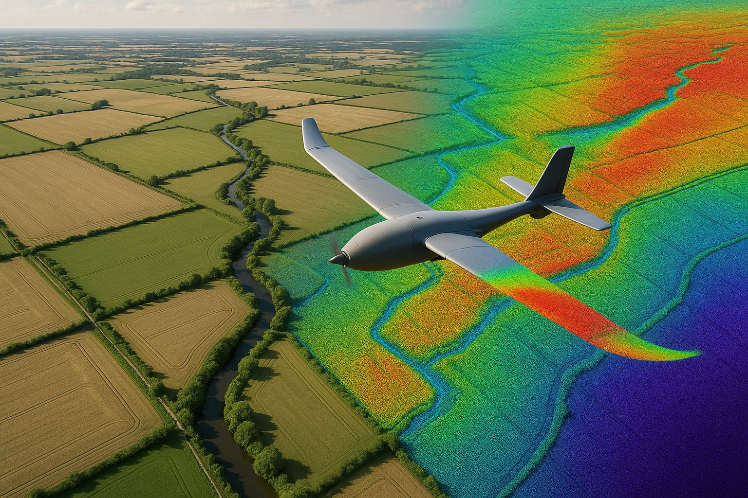
At 250–700 hectares, capture-platform choice is settled: a fixed-wing VTOL such as the WingtraRAY covers the envelope in one or two flights with consistent capture geometry across the whole site. A multirotor would require days of flying and introduce block-to-block inconsistency that undermines the single-surface integrity the downstream workstreams depend on.
For vegetated terrain — and most DCO sites have hedgerows, woodland blocks and riparian margins — UAV LiDAR is added to the photogrammetry, because only LiDAR’s multi-return capability sees the bare earth beneath canopy. See our UAV LiDAR for reservoir surveys guide for the detail on multi-return ground extraction.
Survey control across a large envelope
A DCO-scale survey is tied to OSGB36 / Newlyn ODN via a control network proportionate to the envelope — a primary GNSS control framework observed in static mode and tied to the OS National GNSS network, supplemented by ground control points distributed across the site and independent check points for accuracy verification. See our OSGB36 drone survey workflows guide for how the national-grid tie is established and verified.
The control network is agreed with the applicant’s engineering lead and locked as the project datum at mobilisation, so that every subsequent survey epoch — and every design workstream — references the same framework.
The multi-workstream deliverable set
The defining feature of a DCO survey is that one capture produces a deliverable set serving many consultees at once:
- Digital Terrain Model (DTM) — bare-earth, the basis for flood modelling, drainage design and earthworks
- Digital Surface Model (DSM) — full surface including vegetation and structures, for line-of-sight, shadow and visual-impact studies
- Classified point cloud (LAS/LAZ) — tiled, ground/vegetation/structure classified, archived as the raw evidence base
- Orthomosaic (GeoTIFF) — true-ortho corrected, for GIS overlay across every workstream
- Surface-feature CAD (DWG) — watercourses, IDB drains with invert levels, culverts, rights of way, overhead lines, buildings — delivered for direct incorporation into the consenting drawing sets
- Contour plan at the agreed interval
- Accuracy report — measured residuals against independent check points, referenced to the RICS Measured Surveys of Land, Buildings and Utilities (3rd edition) bands
Accuracy expectation
DCO survey work is typically specified to RICS Band D (±10–25 mm at 1σ on hard detail) for the engineering-grade elements, with the bare-earth DTM under vegetation accepting the looser bands inherent to LiDAR ground extraction. The accuracy is always reported against independent check points withheld from the photogrammetric solution — the verified residual, not the theoretical band.
Programme considerations
DCO surveys are usually time-sensitive: the application has a submission deadline and the survey feeds multiple parallel design workstreams that cannot start until it lands. The fixed-wing capture itself is fast — a single mobilisation — but processing a 70 km² classified dataset to an auditable standard takes structured office time. A realistic programme runs the capture inside a short weather window and the full classified deliverable set over the following weeks, with priority subsets (e.g. the DTM for the flood modeller) released first where the programme demands.
Frequently asked questions
Why can’t the local-authority topographic survey be reused for a DCO? A standard topographic survey rarely covers the full DCO envelope, rarely captures the hydrological and constraint features the consultees need, and rarely carries the documented accuracy verification the Planning Inspectorate expects. A DCO survey is scoped from the consenting requirements backwards.
How long does a DCO-scale survey take? Capture is a single weather-window mobilisation. The full classified deliverable set for a 70 km² site is then produced over the following weeks, with priority subsets released early where parallel workstreams require them.
Do you survey the off-site works as well as the main site? Yes — the survey envelope is scoped to include access roads, grid connection corridors and drainage outfalls, not just the red-line boundary, because those elements need consenting too.
What accuracy does the Planning Inspectorate expect? There is no single mandated figure, but engineering-grade elements are typically delivered to RICS Band D with documented check-point verification. The key expectation is a stated, evidenced accuracy — not a theoretical claim.
For NSIP and DCO-scale survey programmes across the UK, see our aerial survey service and our Anglian Water reservoirs and 250 ha solar farm case studies. Every deliverable is referenced to OSGB36 / Newlyn ODN with accuracy reported against independent check points.